
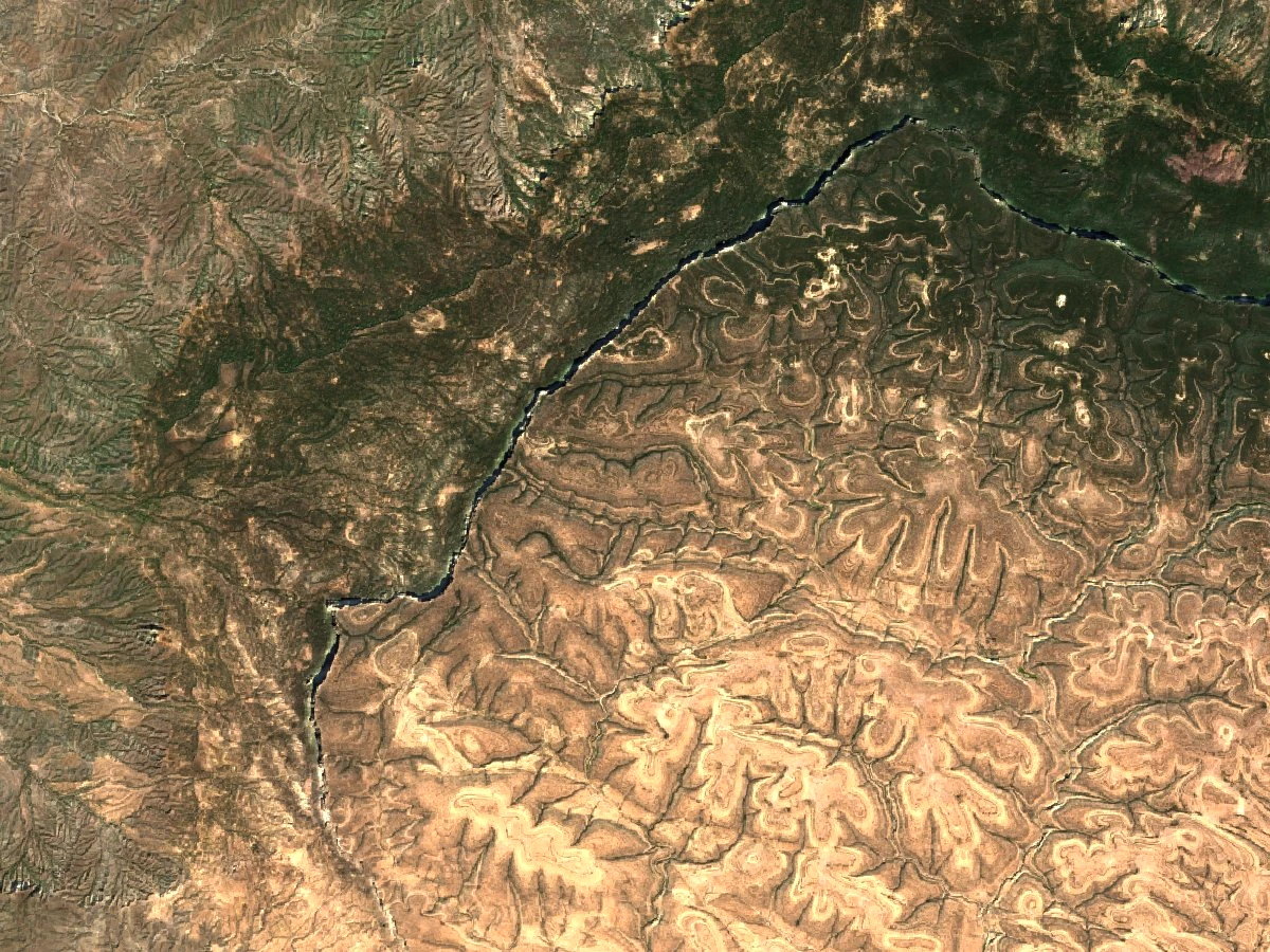
Landform and Escarpment Drainage
The northern escarpment faces the Gulf of Aden. The FAO’s drainage inventory describes short channels, known locally as toggas, cut into its slopes. During sudden flows, water can carry large amounts of sediment downstream. On the Suurad uplands, wooded patches and exposed slopes show how abruptly the terrain can change over short distances.
Vegetation Zones and Forest Documentation
In 1966, C. F. Hemming described six principal vegetation zones from the coast to the high ground, comparing the roles of rainfall, elevation and soil. The FAO’s 2010 report documents forest on the Suurad Plateau south of the escarpment. Across the surrounding uplands, it describes stands of African juniper (Juniperus procera), known locally as dayib, and notes the importance of mist during dry periods.
Remote Sensing and Ground Verification
To map the wider Golis forest, the FAO team compared three Landsat scenes from October 2005 and January 2006 with field observations. The researchers also interviewed residents about their uses of the forest. Field checks helped them tell stands of trees and shrubs apart from more open scrub, a distinction that can be hard to see from orbit.