
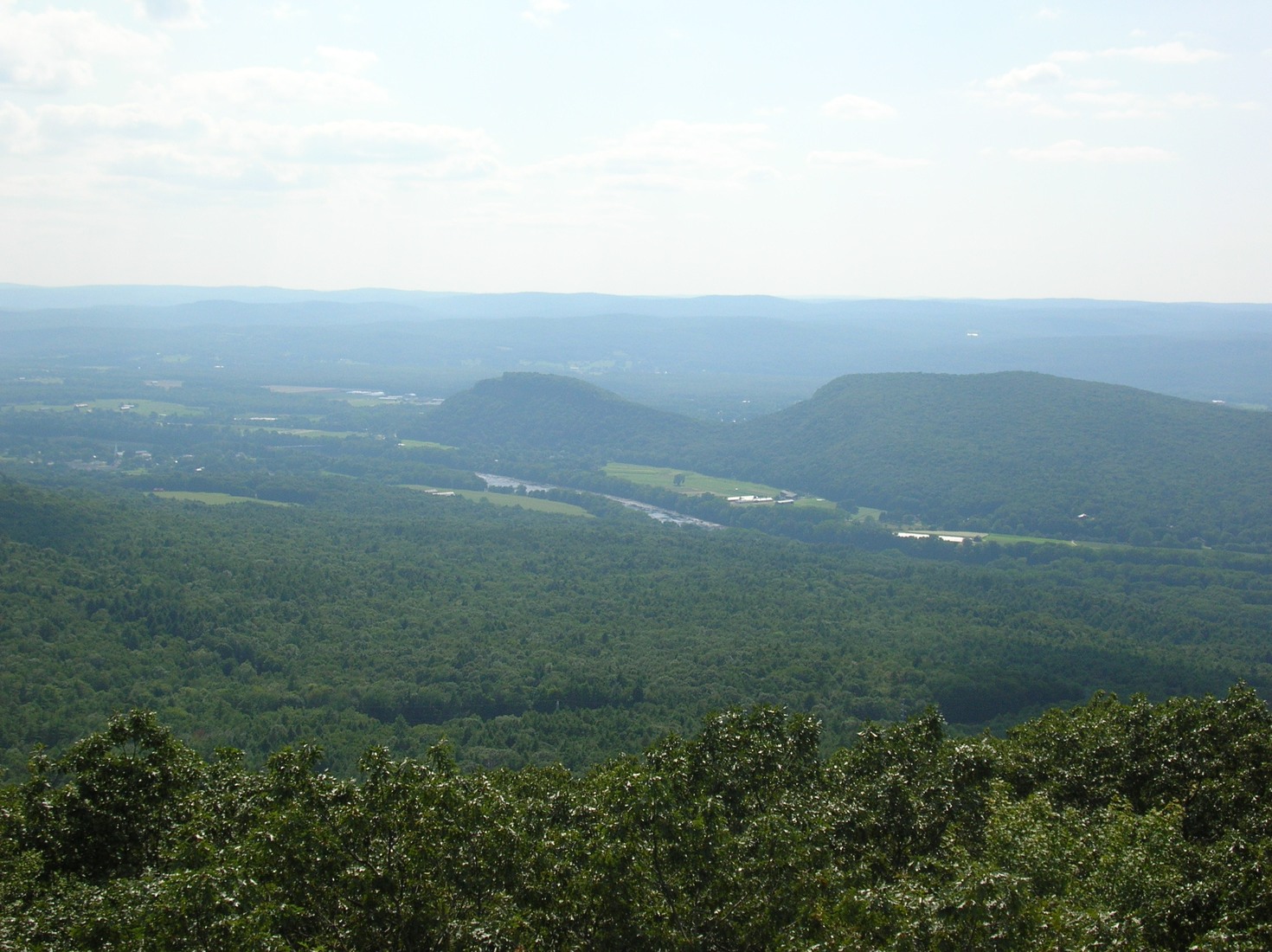
Geology of the Two Knobs
South Sugarloaf is composed of arkose and conglomerate deposited by ancient streams in a rifting basin as Pangaea began to break apart. North Sugarloaf, the higher of the two at 241 m, is underlain by Deerfield Basalt. Seen together from Mount Toby across the Connecticut River, South Sugarloaf appears on the left and North on the right, the two summits recording separate chapters of the same rift-valley sequence.
Pocumtuck Oral Tradition
Abenaki scholar Margaret Bruchac documents a Pocumtuck oral tradition in which South Sugarloaf is the head of a great beaver named Wequamps, with the Pocumtuck Ridge forming the body.
Summit House and the Lookout Tradition
A Summit House was constructed on South Sugarloaf in 1864, establishing the knob as a formal viewpoint.