
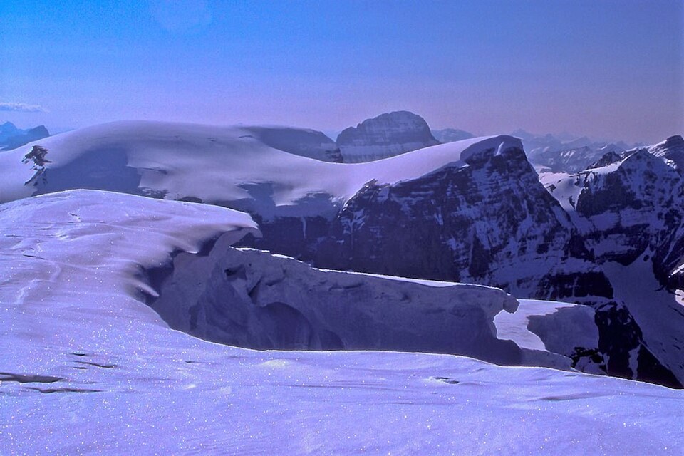
Summit Form and Elevation
The peak comprises two distinct crests: the higher west crest at approximately 3,450 metres and a lower east crest nearby. Official geographic records designate the higher west crest as Stutfield Peak. The Parks Canada Icefields Parkway map records an elevation of 3,453 metres for the peak. The separately named Stutfield Glacier lies in the same vicinity.
Hugh Stutfield and the Naming
The peak commemorates Hugh E. M. Stutfield, an explorer and writer who co-authored Climbs and Explorations in the Canadian Rockies with J. Norman Collie. Peak Finder attributes the naming to Collie while noting uncertainty about which summit he originally intended. A 1937 firsthand account confirms that the name Stutfield was applied to more than one local objective during the expedition era, so not all early references to Stutfield in period sources can be equated with the officially designated peak.
The 1927 Ascent
Modern Alpine Club of Canada and Peak Finder records attribute the first documented ascent of Stutfield Peak to Alfred J. Ostheimer and Hans Fuhrer in 1927. Their expedition approached the Columbia Icefield from the Athabasca side. The Canadian Alpine Journal records this expedition's activity in the icefield region.