
Form and Terrain
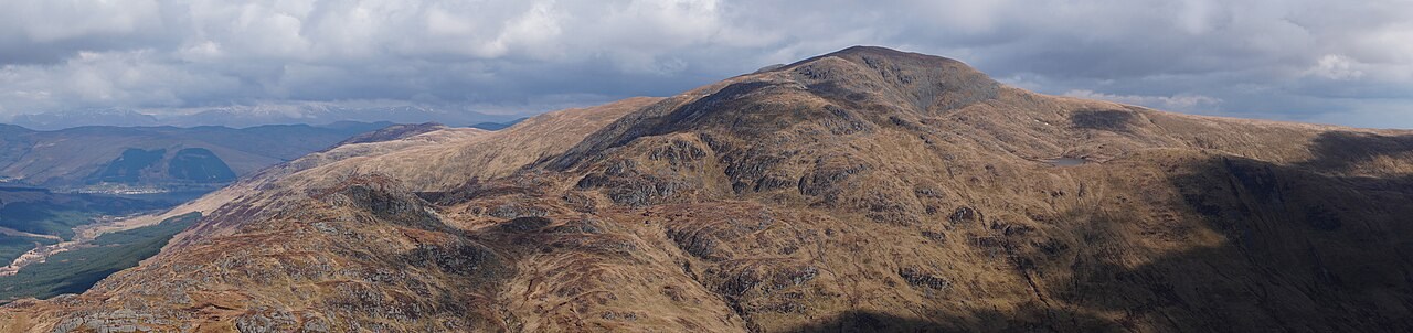
The north-eastern face of Stùc a' Chròin is substantially rockier than the wide moorland that opens out to the south, giving the mountain two distinct characters. This craggy north-eastern side defines the summit block and contrasts sharply with the gentler southern slopes.
Relationship with Ben Vorlich
Ben Vorlich, near Loch Earn, is a separate and distinct Munro. A saddle divides the two mountains, dropping from Ben Vorlich's upper ridge before rising again to the craggy shoulder of Stùc a' Chròin. This col marks the topographic boundary between the two peaks.
Gaelic Name
The mountain's name in Scottish Gaelic is Stùc a' Chròin, as recorded in the Loch Lomond and The Trossachs National Park's documentation of the landscape. The park recognises stùc as a word for a rock or pinnacle.