
Identity and Recorded Elevations
Storm King Peak sits in San Juan County within the eastern Grenadier Range, a subrange of the San Juan Mountains. It should not be confused with Storm King Mountain near Glenwood Springs or other namesakes elsewhere. The peak's name appears on the 1964 USGS topographic sheet, which also separates it clearly from Mount Silex and distinguishes the high ridges of both summits from Trinity Lake and Stormy Gulch below. A Colorado state yearbook from 1931 records a historical altitude of 13,742 feet for the peak. Modern lidar analysis of USGS National Map data yields a distinct figure of 13,753 feet, reflecting different survey methods and epochs rather than a single authoritative measurement.
Precambrian Geology of the Grenadier Range
Fred Barker's 1969 USGS study of the Precambrian Needle Mountains describes the Uncompahgre Formation, a metasedimentary sequence in which quartzite forms the dominant rock type. In the terrain directly south of Storm King Peak and The Guardian, Barker recorded dark slate in the lower portion and finer sandstone and siltstone in the upper part of the same formation, a stratigraphic gradation that the study does not extend to the summit surfaces themselves.
The 1969 Survey Photograph
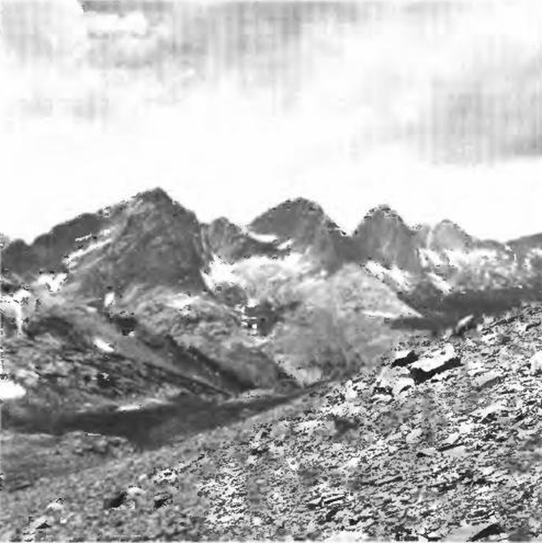
Figure 7 of USGS Professional Paper 644-A, published in 1969, presents the three summits from the northeast, with The Guardian on the left, Mount Silex at center, and Storm King Peak at the right. The 1964 topographic sheet records the same high ground in measured form, mapping the ridges that separate the summits, tracing the drainages toward Trinity Lake and Stormy Gulch, and assigning named features to terrain that the photograph renders as a continuous skyline.