
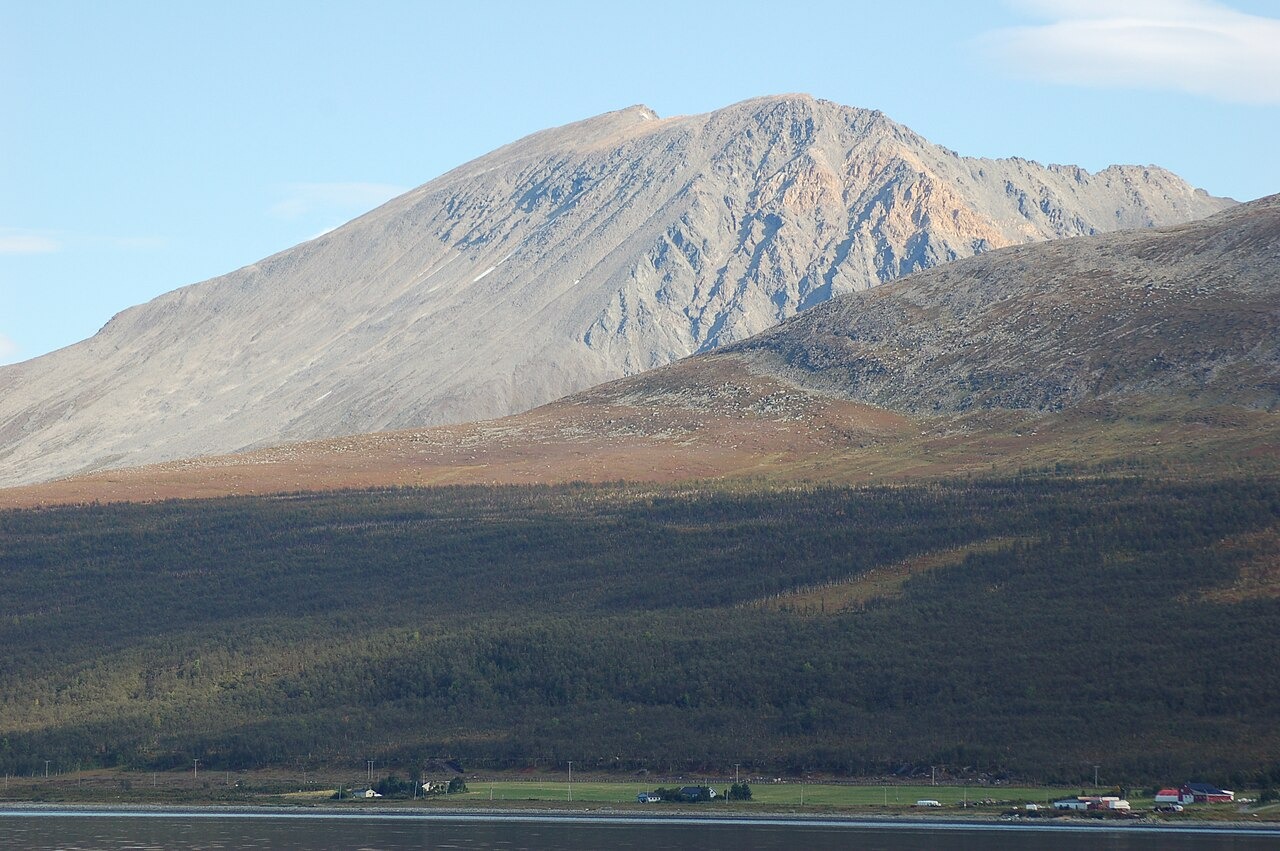
Landform and Approach
A documented route from Sandneset begins at the shore, climbs through a forest belt, and opens into a cirque, a bowl-shaped hollow carved by glacial erosion and bounded by steep headwalls, with a long summit slope rising above. Glaciological field research from UiT The Arctic University of Norway has examined Late Glacial and Holocene ice retreat across northern Lyngen, with work at sites including Strupskardet, Veidalen, and Reindalen, documenting the glacial history of the landscape in which Storgalten stands.
Protected Area and Recreation
The Lyngsalpan protected area's 2019 visitor strategy names Storgalten among the high-use summits on the northern peninsula, drawing on location traces gathered from 2015 to 2018 and distinguishing winter ski traffic from bare-ground summer use.
Storgalten and Lillegalten
Storgalten and the neighbouring lower summit Lillegalten are distinct named points in the Lyngsalpan range. From the coastal settlement of Lenangsøyra to the west, a 2007 photograph shows Storgalten's upper ridges rising clear above the approach terrain below.