
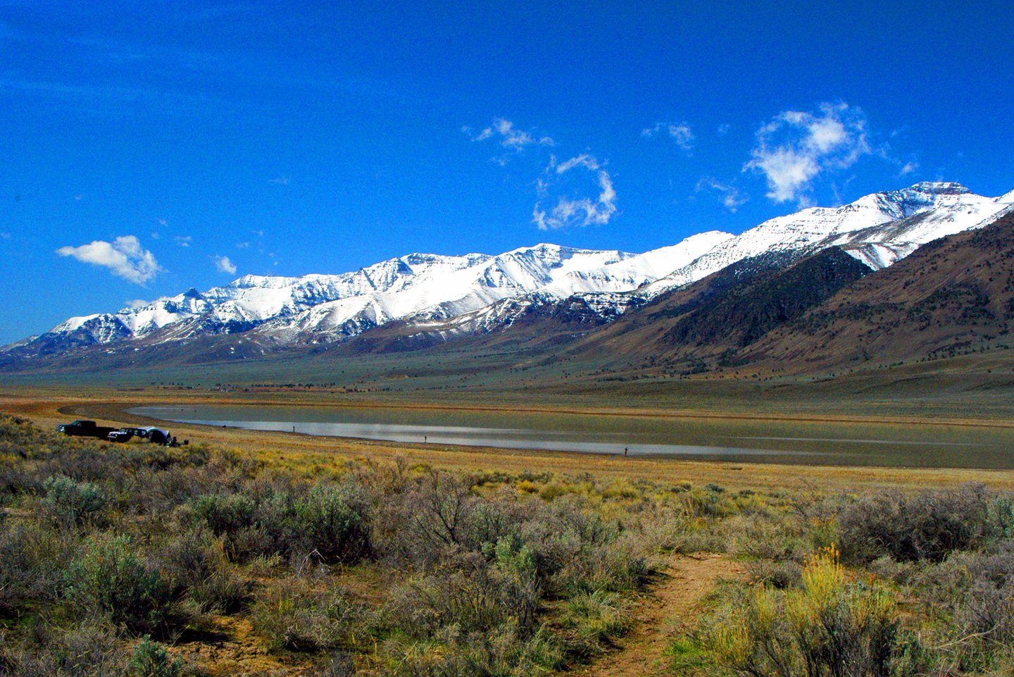
Tectonic Origins of an Asymmetric Range
The Bureau of Land Management describes Steens Mountain as a fault-block mountain formed when tectonic forces tilted and lifted layers of lava, producing the pronounced asymmetry that defines the range. The eastern escarpment rises steeply from the floor of the Alvord Desert, while the western flank climbs more gradually from the surrounding high desert. This structure distinguishes Steens Mountain from volcanic cones: it is a tilted and elevated block of older material, not a built-up accumulation.
Glacial Valleys on the High Block
Across the elevated fault block, ice carved deep valleys during a later phase of the mountain's history. The BLM documents Kiger Gorge and Kiger Creek, noting the steep glacial valley the creek occupies within the range. The tectonic and glacial processes represent two distinct timescales: faulting and uplift produced the broad asymmetric relief, while glaciation later incised the sharp gorges and valleys into that already elevated surface.
Name and Management Area
The GNIS records that Steens Mountain takes its name from Major Enoch Steen, in connection with an expedition documented in 1860. The Bureau of Land Management describes a cooperative management and protection area around the mountain encompassing high desert and alpine environments, recognizing the range's landform types from sagebrush terrain on the lower slopes to the glacially shaped highlands near the summit as a coherent unit.