
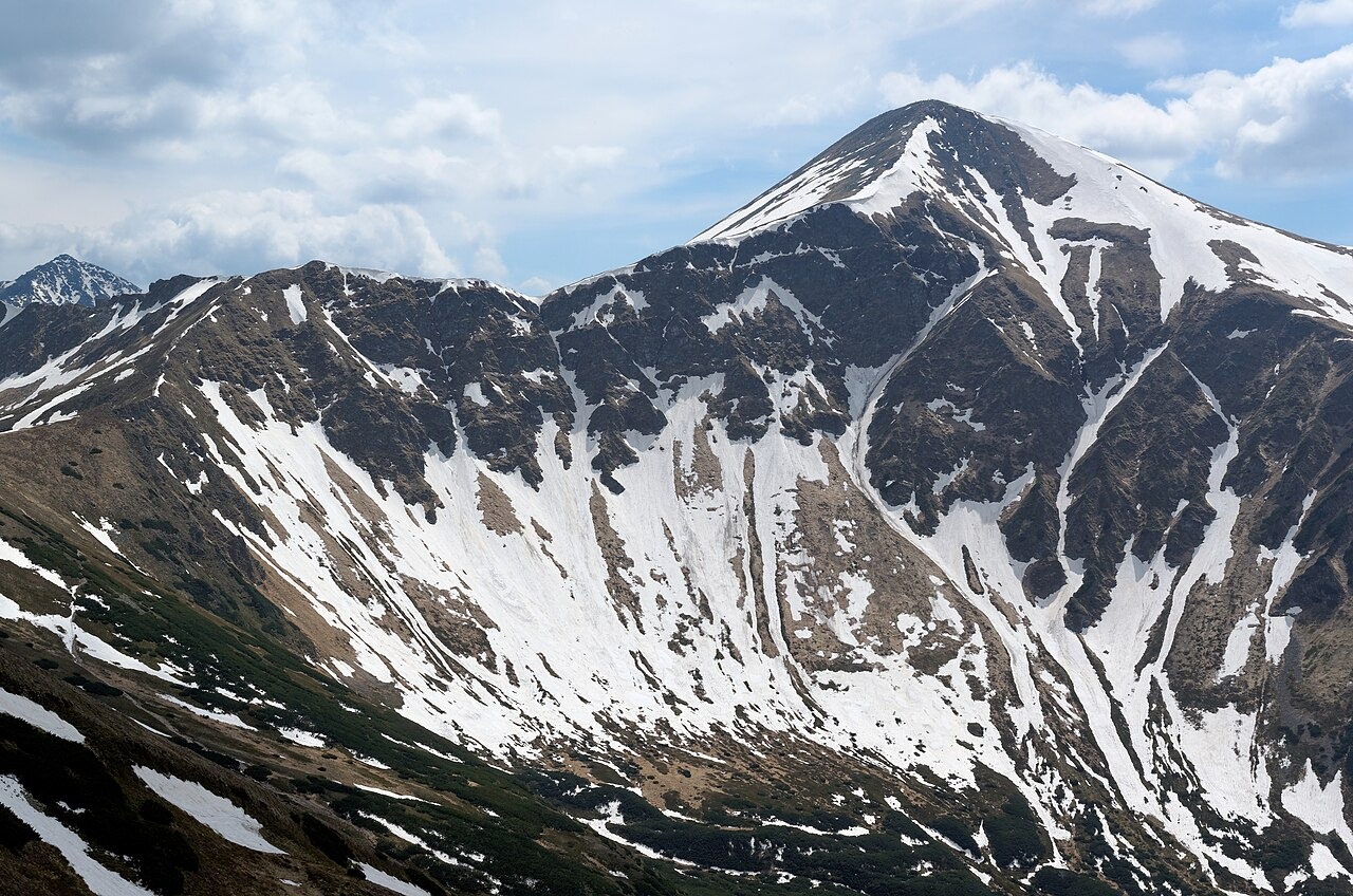
Landform and Surrounding Valleys
Starorobociański Wierch, known in Slovak as Klin, rises with a pyramidal profile above three distinct tributary valleys. On the Polish side it dominates the Starorobociańska Valley, itself a tributary of the larger Chochołowska Valley. The Gaborowa and Zadnia Raczkowa valleys extend from its Slovak flanks. The northern wall stands above the glacial cirques and hollows of the upper Starorobociańska Valley, and the Tatra Museum identifies the Wielkie Jamy hollows directly beneath this wall.
Mining History and the Name Stara Robota
The Tatra Museum documents silver and copper mine adits on the Ornak slopes of the valley during two recorded periods, 1521–1526 and 1536–1537. Silver prospecting later extended to the slopes of the peak itself. Under Baron Hieronim Borowski, the Alexander and Jadwiga works operated in 1810–1811 at sites around 2,000 m under the north wall at a location called Łopata. The name Stara Robota, meaning old workings, attached to this history and in turn named the valley.
Alpine Botany
A 2023 study documented Draba fladnizensis growing on the mountain's alpine grasslands at elevations between 1,960 and 2,010 m. The find constitutes a first national record for Poland. The published study followed morphological examination and a review of comparable specimens from other sites.