
Geology and Glacial Setting
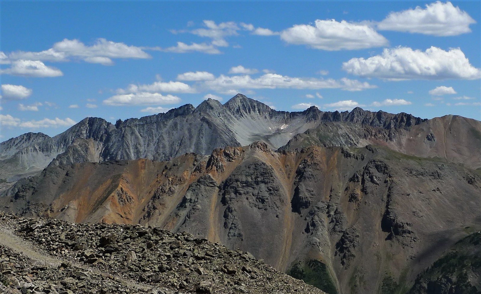
Bruce Bryant and colleagues mapped the Aspen region for the USGS, identifying Star Peak as named high ground near the late Pleistocene glacial maximum. Ice drained through the surrounding local valleys. USGS field photographs of adjacent terrain at the Castle Creek headwaters, facing toward Pearl Pass, show intrusive rock, contact-altered beds, and cirque talus.
Pearl Pass and the Mining Corridor
Nearby Pearl Pass served as a historic freight route connecting the Ashcroft mining district with the Gunnison Basin. The Ashcroft National Register nomination records ore hauled by mule over Pearl and Taylor passes before railroads reached Aspen; Ashcroft prospered as a silver-mining supply town in the early 1880s and was renamed Ashcroft in 1882.
Star Peak from the Ridge
A photograph by Jeremiah LaRocco from August 2010 shows the northwest face of the peak beyond Greg Mace Peak, illustrating its position within the local ridge system. The image places the summit within a sequence of rugged crests, with the high terrain of the Elk Mountains extending along the skyline. The surrounding crest carries steep rock faces, talus slopes, and narrow ridges threading between prominent summits.