
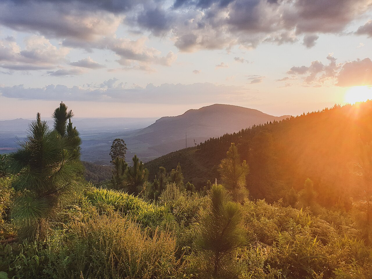
Mistbelt and Dry Forest Mosaics
Fieldwork recorded in the Herbarium Soutpansbergensis and surveys conducted by the Endangered Wildlife Trust document both mist-influenced forest and dry woodland within the range. These contrasting communities reflect differences in elevation and exposure rather than a single climatic mechanism. Ravines and sheltered slopes carry mistbelt forest with closed canopies, while drier facings support open woodland and grassland patches.
Western Soutpansberg Nature Reserve
The Endangered Wildlife Trust manages the Western Soutpansberg Nature Reserve, which protects a portion of the range's western sector. EWT documentation describes the reserve's terrain as a mix of cliffs, rocky outcrops, and valley woodland. The reserve represents one formally protected component of a range that spans multiple land tenures and vegetation types across its full extent.
Vhembe Biosphere and Broader Landscape Context
UNESCO's Man and the Biosphere Programme designates the Vhembe Biosphere Reserve across a larger landscape that encompasses the Soutpansberg and surrounding areas. The biosphere designation recognises the region's ecological complexity, including the range's varied forest and woodland communities. Within this framework the western reserve and the Soutpansberg's documented flora form constituent parts of a wider conservation landscape.