
Landform and Separation from the Main Massif
In his account of geodetic work carried out in 1910 and published in the Annales de géographie in 1914, A. Carrier identified the Iharakity and Ampitambo valleys as the natural boundary separating the southern and southwestern terrain from the main Ankaratra massif. Along the Faratsiho–Sambaina road corridor he recorded Faravohitra at approximately 2,000 metres, a plateau overlooked by domes and hills that Carrier interpreted as older volcanic centres.
The rock types visible across this terrain record repeated volcanic activity. Drawing on Alfred Lacroix's 1912 petrography, Carrier distinguished trachytes, dark basalt, and phonolite outcrops in the area, including phonolite knobs located south of Tsiafajavona. Modern geochemical studies of the Ankaratra volcanic complex classify the extended field's landforms into lava flows, lava domes, scoria cones, and maars.
Cultivated Basins and Settlement Patterns
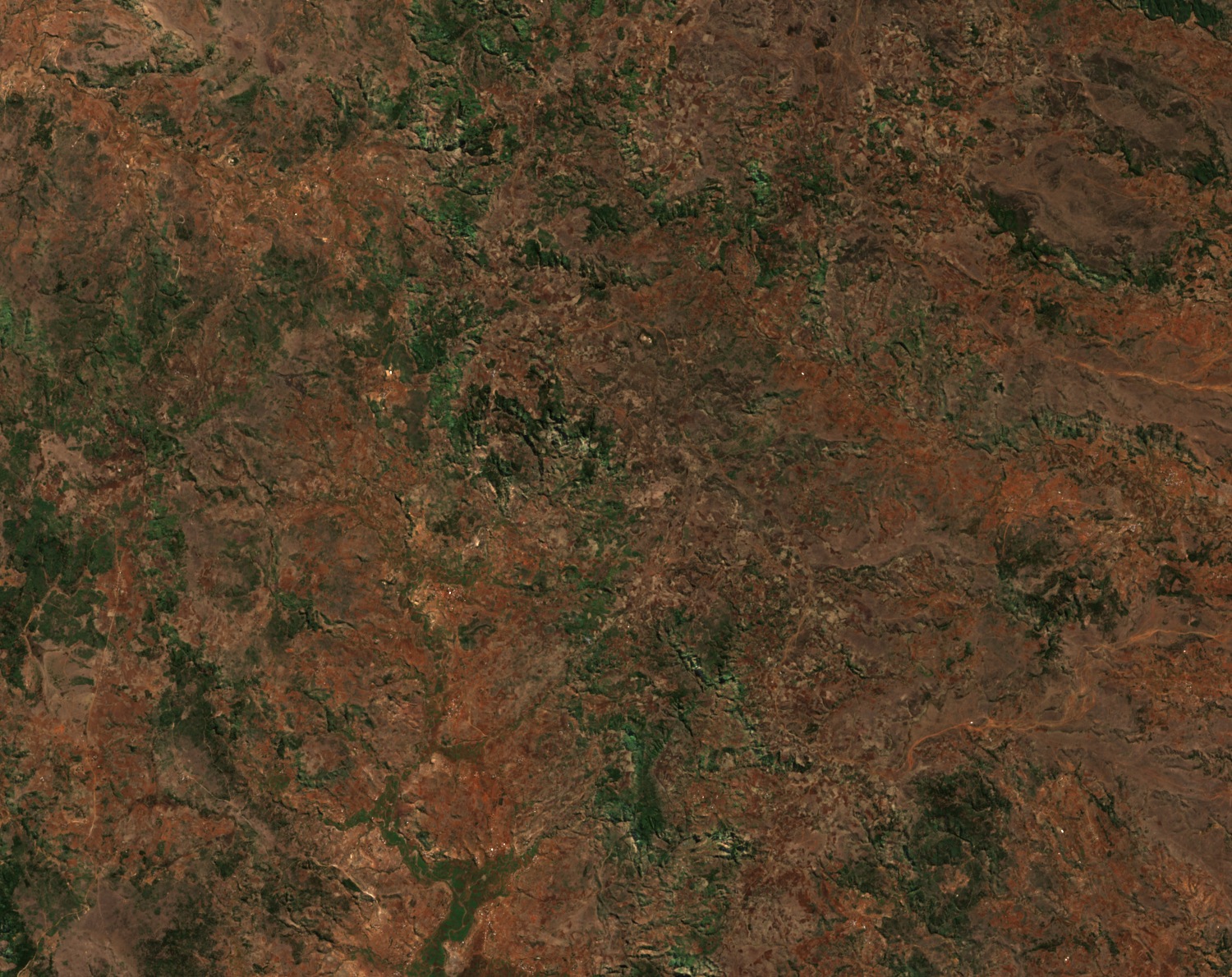
The Vakinankaratra regional monograph documents the interaction between high volcanic terrain and the cultivated basins surrounding Faratsiho and Ambohibary. Valleys incised into the lava plateau create discrete lowered surfaces where water and soil accumulate, and the juxtaposition of steep volcanic relief with these flatter basin floors has guided where cultivation and settlement concentrate across the upland zone. The Sentinel-2 image from 22 August 2026 shows short ridges separated by narrow cultivated valleys.
Late Pleistocene Volcanism in the Wider Southwestern Field
Farther southwest, within the broader volcanic complex near Betafo, Rufer and colleagues (2014) documented older water-driven explosive deposits underlying younger scoria cones and lava flows. Luminescence dating placed the underlying deposits at about 68,000 years, giving the researchers a maximum age for the Iavoko, Antsifotra, and Fizinana scoria cones. The Iavoko lava flow extends roughly eight kilometres toward the Betafo basin, tracing the path eruptive material followed across the southwestern sector.
Rasoazanamparany and colleagues (2022) applied 40Ar/39Ar measurements to samples from the southwestern volcanic field and obtained ages at or below 110,000 years for all samples dated, adding independent evidence that eruptive activity in this part of the complex falls within the late Pleistocene.