
Three Peaks on the Baekdudaegan
Sobaeksan places three peaks — Gungmangbong, Birobong, and Yeonhwabong — in a row along the Baekdudaegan. Birobong, at 1,439.7 metres above sea level, is the highest point on Sobaeksan and forms the provincial boundary between Punggi-eup, Yeongju-si in North Gyeongsang Province and Danyang-eup, Danyang-gun in North Chungcheong Province. The three peaks are distinct summits, but a single continuous ridge connects them, forming the core section of a full traverse of Sobaeksan.
The Yew Grove on Birobong
A grove of yew trees grows around Birobong and is designated as a natural monument. The yew is a species adapted to high-mountain conditions, characterised by slow growth and great longevity. The Birobong yew grove is a vegetation landscape shaped by the climatic conditions and terrain of the Sobaeksan ridge, and it displays the character of a subalpine forest zone in contrast to the summer grassland scenery elsewhere on the ridge.
Ridgeline Grasslands and Headwaters
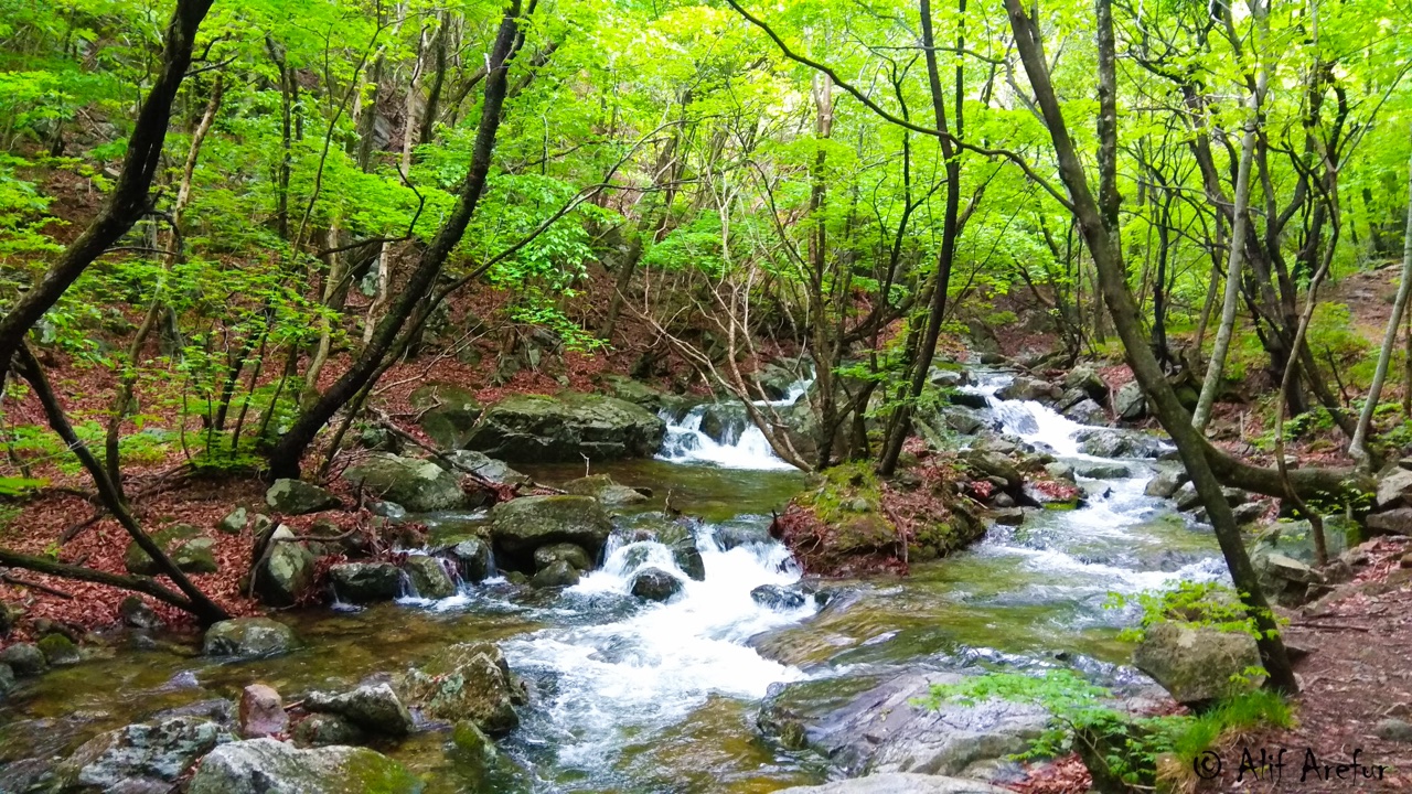
Much of Sobaeksan's high ridge consists of open grassland above the treeline, with royal azalea stands widely distributed in spring. This ridge serves not only as a scenic feature but as a hydrological divide. Tributaries of the Nakdong River rise within the Sobaeksan area, and the mountain's terrain marks the starting point of watercourses draining to the east and west. Sobaeksan National Park, designated in 1987, encompasses this ridge and the surrounding valleys.