
Elevation Records
Snježnik belongs to a line of summits running roughly three kilometres east of the main Zavižan crest. The height of 1,605 metres appears on an older map reproduced in the Croatian spatial plan for Northern Velebit. The Croatian Mountaineering Association inventory published in 2015 lists a spot height of 1,608.7 metres, which the inventory rounds to 1,609.
Geology and Glacial History
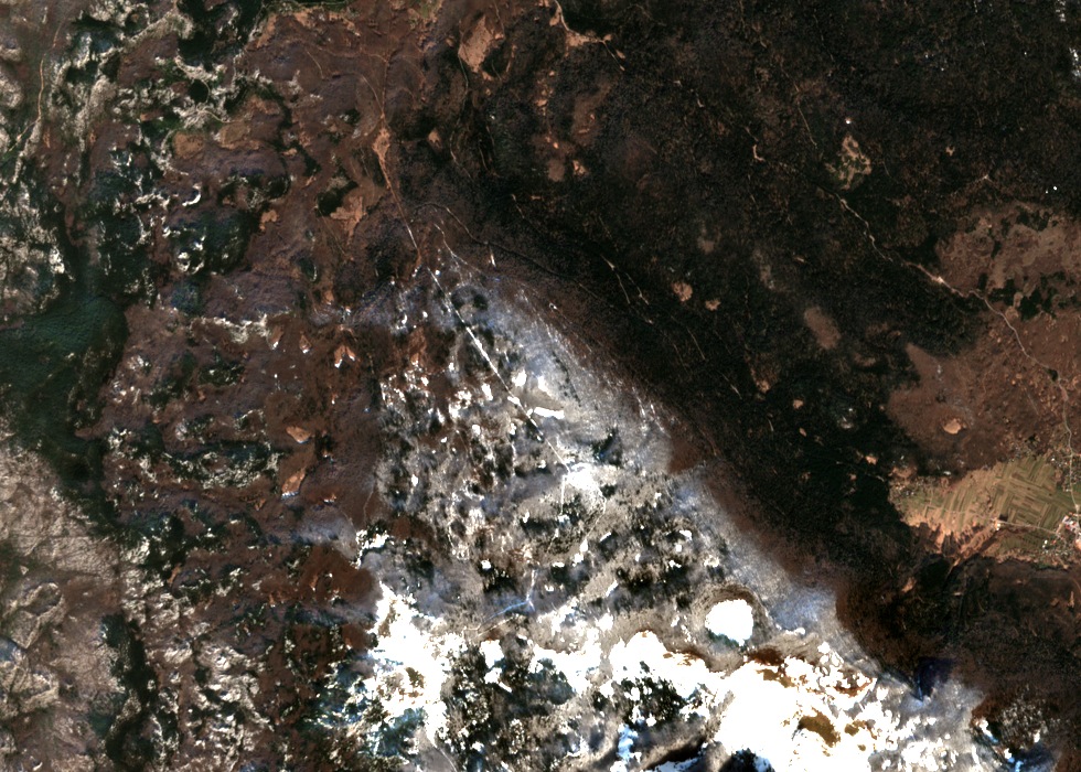
The Krasno polje visible below Snježnik is a broad, flat karst depression aligned along a fault crossing the Velebit ridge. The surrounding range is built from limestone and dolostone formed from marine carbonate sediments laid down over millions of years. In a 2015 paper, geomorphologist Uroš Stepišnik reinterpreted Žestikovac as a corridor through which glacial ice flowed from the Jezera plateau during the Pleistocene, with moraines marking the former glacier margins and meltwater carrying large volumes of gravel down into the basin and depositing it there as outwash fans.
Forest, Clearings and the View Toward Lika
In a 2023 mountaineering account, author Raul Horvat described dense low forest covering the ground between the nearby summit of Plješevica and a grassy hollow at the southern foot of Snježnik, the hollow estimated at roughly 300 metres in length. The named clearing of Plandište sits along the sharp drop toward Lika. From the summit, Horvat's photograph and written account record an unobstructed view looking lengthwise over Krasno polje and into the Lika side.