
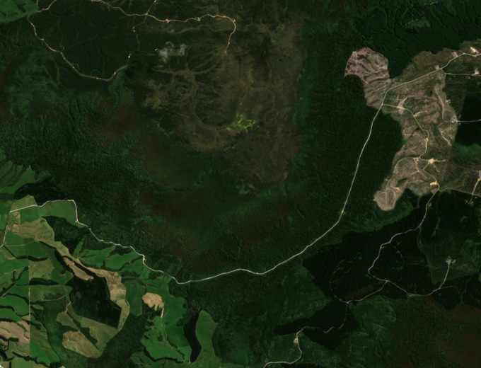
Folded rocks in the Inland Catlins
The regional landscape study places the Inland Catlins at the eastern end of the Southland Syncline, a broad fold in the rock layers. Jurassic sandstone and mudstone are exposed in the hills. At Slopedown the plateau and its scarp give the folded country a distinct edge.
Forest on the slopes, peat on the tops
On the southern slopes, the landscape study records areas of mountain cedar, or pāhautea, alongside other forest. Red tussock and peatlands persist on the higher ground. These communities occupy different parts of the landform.
The Slopedown Ecological Area
Within the ecological area, surveys record regenerating kāmahi, podocarps and other broadleaved trees on slopes of varying steepness. The native forest stands amid a wider landscape of farms, scrub and plantation forestry.