
Granite Bedrock and Valley Landforms
Researchers sampled Carboniferous granite on Slavkovský štít itself. That granite cooled underground before mountain building and erosion exposed it at the high ridge. Charles University researchers track ground temperatures at sites in the neighboring Slavkovská and Veľká Studená valleys, where the monitored landforms include rock glaciers — collections of blocks and debris that can move slowly when they contain ice.
The 1664 Recorded Ascent
An early documented ascent in the High Tatras took place on Slavkovský štít in 1664, led by Juraj Buchholtz the Elder. The Tatra National Park journal discusses his later written account of the climb.
Summit Form and Situation
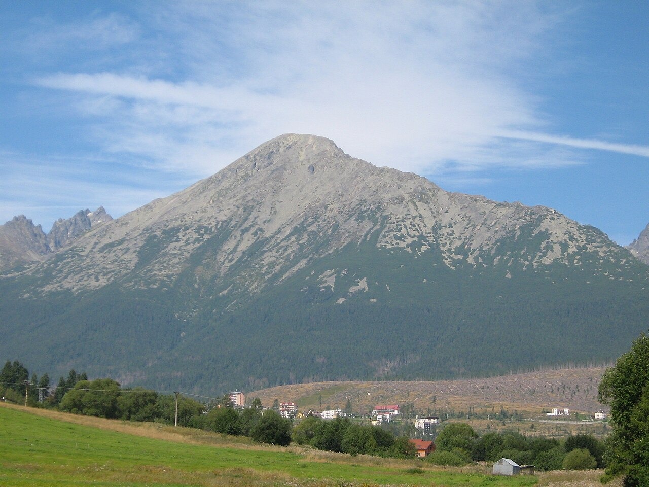
The summit of Slavkovský štít has a broad, rounded form. Its spur lies between the Slavkovská and Veľká Studená valleys. The photograph was taken from Nová Lesná, with the mountain to the northwest.