
A Name Without a Confirmed Derivation
The name was already in local use when British Columbia adopted it for a geological map in 1926. The BC Geographical Names authority records several proposed origins and reaches no confirmed derivation. The UBC Varsity Outdoor Club links a notable rise in the number of ascents on the peak to the opening of a nearby gondola in 2014.
Stadium Glacier and Nearby Summits
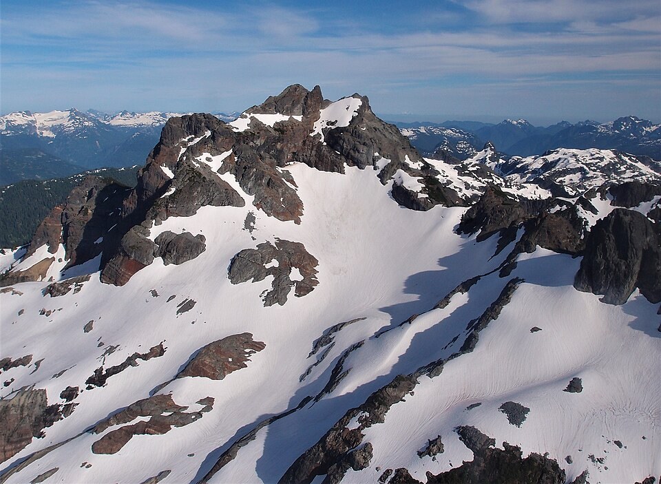
A small glacier named Stadium Glacier occupies the northwest side of the mountain. The Canadian Alpine Journal has documented Sky Pilot's northwest aspect in connection with this ice body. Co-Pilot and Ledge Mountain are separate nearby summits within the same mountain group.
Former Ice Extent in Howe Sound
Glaciologist Ian S. Evans, writing in the Annals of Glaciology, estimated that former ice in this part of Howe Sound reached a thickness of at least 2,050 metres above the present seabed, with additional thickness represented by later sediment. His analysis interprets the older ice sheet as having overtopped nearby Goat Ridge, which stands at 1,762 m, while probably leaving Sky Pilot's 2,031 m summit exposed above the ice surface. Evans presented this reconstruction as evidence and inference from rock landform analysis rather than a directly measured former ice level.