
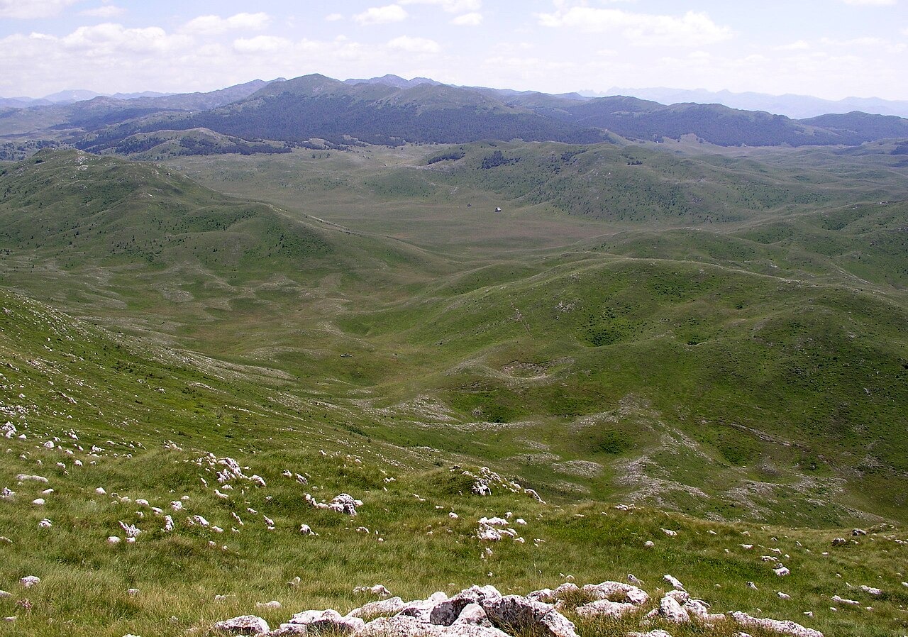
Plateau Landforms and Glacial Legacy
The plateau holds karst hollows and bears the marks of glacial shaping. The Montenegrin Academy of Sciences and Arts reconstructs a Pleistocene glacier that moved down the Plašnica valley toward the Kolašin basin. Jablanov vrh, at 2,203 m, is a named separate peak within the terrain. The EPA documents the Tara canyon along the northeastern edge.
Katun Settlements and Upland Pasture
Ethnographic fieldwork published in Ethnoanthropological Problems documents katuns as seasonal summer settlements where herding households use communal upland pastures, moving up from permanent lower-altitude villages for the grazing season.
Archaeological Evidence of Earlier Land Use
Miloš B. Petričević used remote sensing to identify probable burial mounds and hillforts in the high limestone terrain. He proposes these features may be clues to early seasonal uses of the mountain. Their chronology remains open pending excavation.