
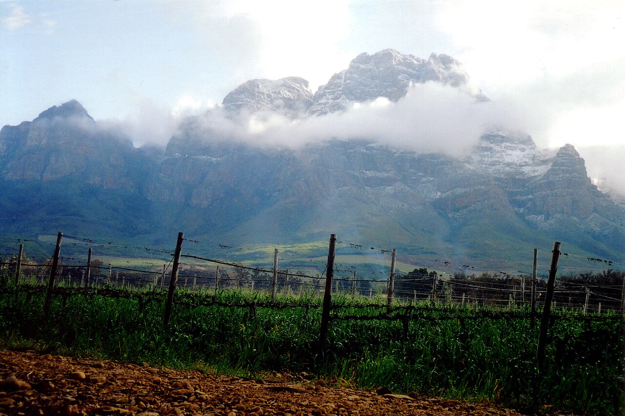
Sandstone, Granite and Conglomerate Geology
The Greater Simonsberg Conservancy identifies the meeting of Table Mountain Sandstone, granite and conglomerate formations across the Simonsberg–Klapmutskop area. This combination of rock types produces distinct soil profiles and drainage patterns across the massif, contributing to the varied fynbos and renosterveld habitats recorded within the conservancy boundaries.
Groot and Keurbos River Catchments
The Drakenstein Municipality's mountain slope study identifies the Groot and Keurbos rivers as flowing down the Simonsberg slopes toward the Berg River. Both catchments fall within the municipality's spatial planning assessments, which map their courses in relation to the agricultural and residential land uses concentrated along the lower slopes.
Farm Complexes and the 2012 Heritage Survey
The Drakenstein Municipality's 2012 heritage survey recorded historic farm complexes and vineyard landscapes along the Simonsberg slopes as features of conservation significance. These documented properties illustrate the continuity of agricultural land use on the mountain's lower terraces from the period of early colonial settlement through to the present wine-producing estates recognised by the Stellenbosch Wine Routes authority.