
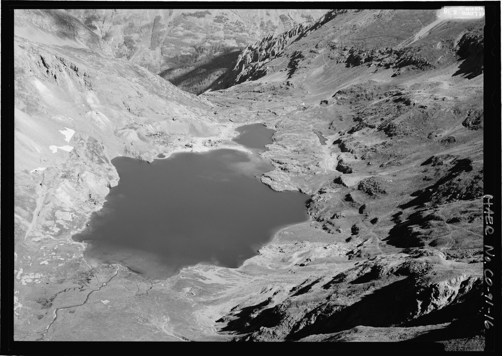
A basin cut by ice
U.S. Geological Survey geologist F. L. Ransome described the cirque in 1901. Steep walls enclose it on three sides, rising toward Kendall and Little Giant peaks. Ice cut into softer rock behind a resistant band of andesite at the north end of the lake. Ransome could still see scratches left by the ice on that rock sill, which the lake drains over into Arrastra Gulch. The basin walls are largely volcanic breccia, a rock made of angular fragments, with mineral veins that filled fractures in the bedrock.
Ore mills and mine waste
Claims in the basin produced ore by 1882, and shipments followed in 1883. In 1891, the Silver Lake mine was equipped with a mill whose fifty stamps crushed ore. Ransome’s report describes mill waste called tailings partly filling the lake. In 1915 mining engineer Warren C. Prosser documented an attempt to recover minerals from those tailings. A pump on a float fed a pipeline, and a flume carried the mixture downhill to the Mears–Wilfley mill near the Animas River. The journal’s photograph shows the tailings and equipment together.
The ruins from above
The aerial photograph shown here was taken in August 2005 by Jet Lowe for the Historic American Engineering Record. Looking north, it places the Iowa mine ruins at center left and the remains of the Silver Lake mine beyond the northwest shore. The code CO-91-16, visible at the frame’s edge, identifies the negative held at the Library of Congress.