
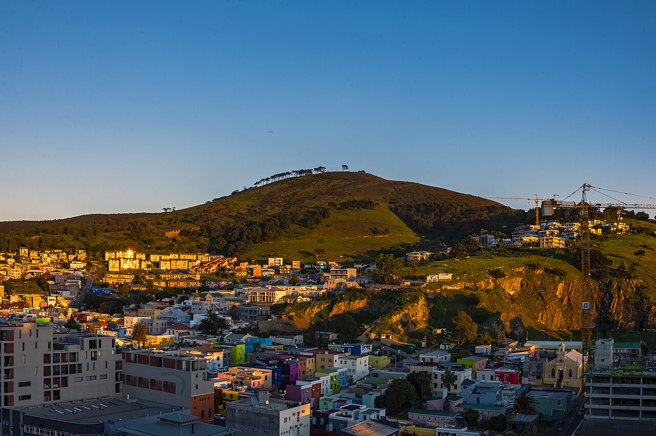
Malmesbury Bedrock Beneath the Ridge
Unlike the Table Mountain Sandstone that defines the higher peaks nearby, Signal Hill exposes rocks of the Malmesbury Group — ancient mudstones and sandstones that underlie much of central Cape Town. These older formations give the hill its comparatively gentle profile and set it apart geologically from the dramatic cliffs of Lion's Head to the south.
Peninsula Shale Renosterveld on Clay-Rich Soils
City of Cape Town conservation records document Peninsula Shale Renosterveld across the hill's slopes, a vegetation type associated with clay-rich, fertile soils derived from Malmesbury shales. This community is among the most threatened in the Cape Floristic Region, and Signal Hill represents one of its remaining occurrences within the Table Mountain National Park boundary.
Time Ball and Noon Gun at Lion Battery
South African History Online records that Signal Hill served as a visual signalling station above Table Bay, with a time ball relaying the Royal Observatory's time signal to ships unable to sight the Observatory directly. The Noon Gun at Lion Battery formed part of this historical timekeeping sequence, with remote triggering linked to the Observatory clock representing a later development in the system.