
Elevation and Two Names
The Kazakhstan climbing federation register and a 2016 Committee for Emergency Situations briefing quoted by Kazinform both give 3,450 metres for the named Shymbulak summit. The government route register records the same named point — identified there as Chimbulachka — with an alternate figure of 3,540 metres. The ski resort in the lower valley shares the Shymbulak name but occupies a distinct and lower elevation, separate from the summit described here.
Talgar Pass and the 2017 Photograph
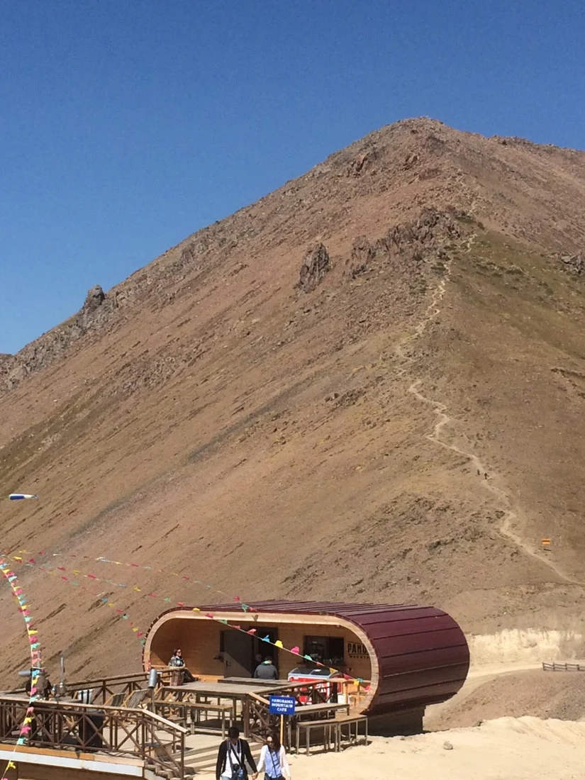
A photograph taken from Talgar Pass in September 2017 shows Chimbulachka's profile rising above the col. The government route register links the named Chimbulachka summit and Talgar Pass within the same route entry, placing the pass as a geographic reference point for the ascent to the summit.
Ridge Circuit and the 2021 Independence Ascents
A published Almaty route record documents a ridge circuit connecting four named summits — Chimbulachka, Bashuta, Panorama, and Furmanov — above the Ile Alatau and returning toward the Kimasar valley, with Talgar Pass marking one of its junctions. The Mountain Club of Almaty Management University's 2021–2022 project to ascend thirty peaks commemorating thirty years of Kazakhstani independence listed Chimbulachka among the peaks reached, recording the summit at 3,540 metres.