
Early Pleistocene Volcanic Rocks
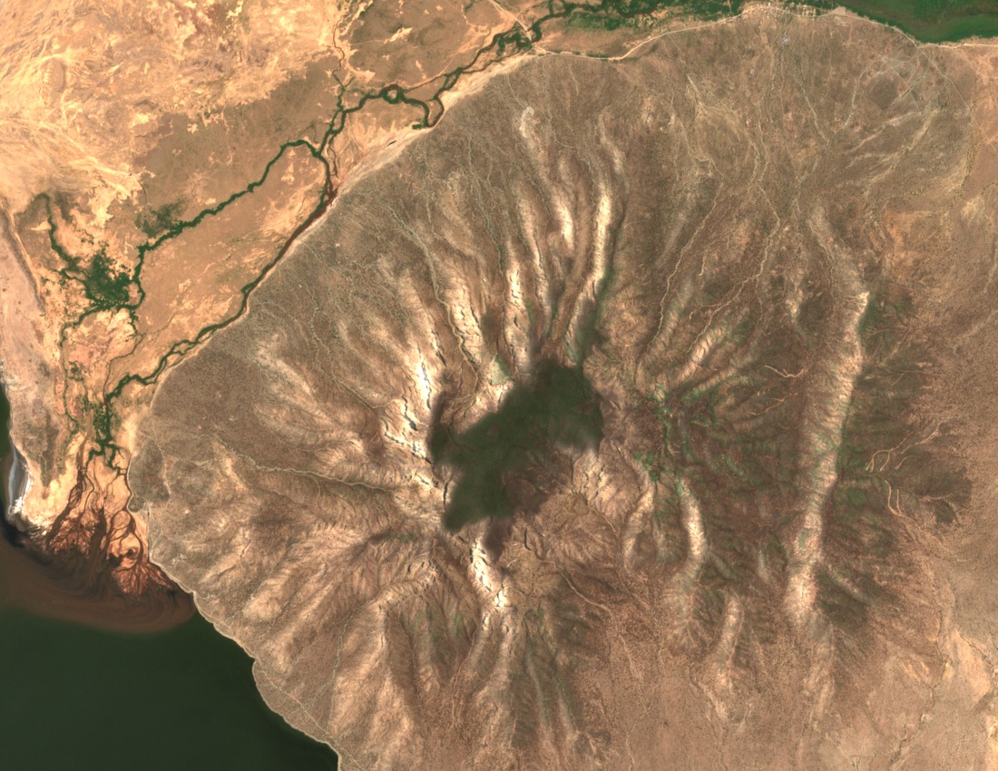
Geological mapping published by the Geological Society of America places Shompole's volcanic rocks at approximately 1.96 to 2.0 million years old, dating the edifice firmly to the Early Pleistocene. The mapped lithologies include nephelinite, carbonatite, and phonolite, an alkaline suite consistent with the deep mantle sources active along the East African Rift. No dated record of a final eruption is established in the geological map.
Erosion and Rift Structural Setting
Long-term erosion has removed much of the original cone and exposed compositional layering across the flanks. University of Nairobi gravity and geological surveys of the southern Kenya Rift situate Shompole within the broader rift valley architecture, documenting its relationship to regional fault structures. The presence of carbonatite among the exposed lithologies is a notable feature of this rift segment.
Shompole Swamp and the Ewaso Ng'iro Wetland Basin
The southern Ewaso Ng'iro River feeds Shompole Swamp on a seasonal basis before its waters continue toward Lake Natron. A study published in Remote Sensing of Environment documents substantial year-to-year variability in standing water across the wetland, along with seasonal use by wildlife and livestock. Tanzania registered the Lake Natron basin as Ramsar site 1080 in its national submission.