
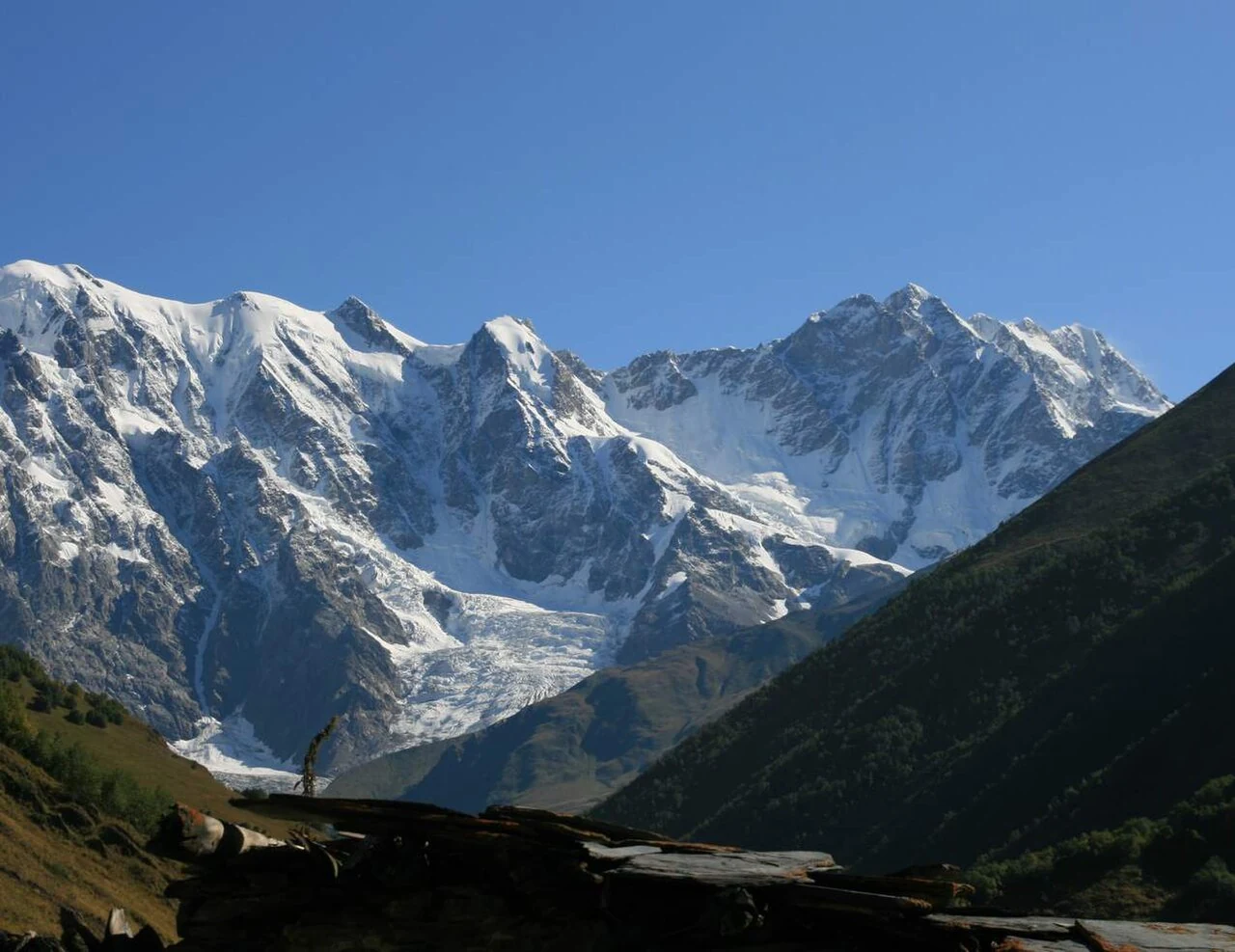
Position on the Bezengi Wall
Shkhara stands at the eastern end of the Bezengi Wall, also called the Khalde Wall, which forms the border between Upper Svaneti in Georgia and Kabardino-Balkaria in Russia. The 2010 DGPS observation placed the summit at 43°00′02.26411″ N, 43°06′44.16771″ E. The Shkhara Glacier descends on the Georgian side toward the headwaters of the Enguri River, whose drainage cuts west through the high valleys of Upper Svaneti.
Ascent history
The Georgian National Tourism Administration records the first ascent in 1888 by John Garford Cockin, Ulrich Almer, and Christian Roth, who approached from the north. A separate north-side winter ascent occurred in 1986. Archil Badriashvili and Giorgi Tepnadze reached the summit on 10 February 2018 during the first winter ascent from the south. Their round trip from advanced base took 13 days. The American Alpine Journal, which published Badriashvili's account, distinguishes this south-face winter climb from the 1986 north-side ascent.
Upper Svaneti and the cultural landscape
The Shkhara Glacier lies above the Enguri headwaters in Upper Svaneti, whose medieval defensive towers are inscribed as a UNESCO World Heritage property. Chazhashi, a stone-tower cluster within the village of Ushguli, forms part of that inscribed cultural landscape.