
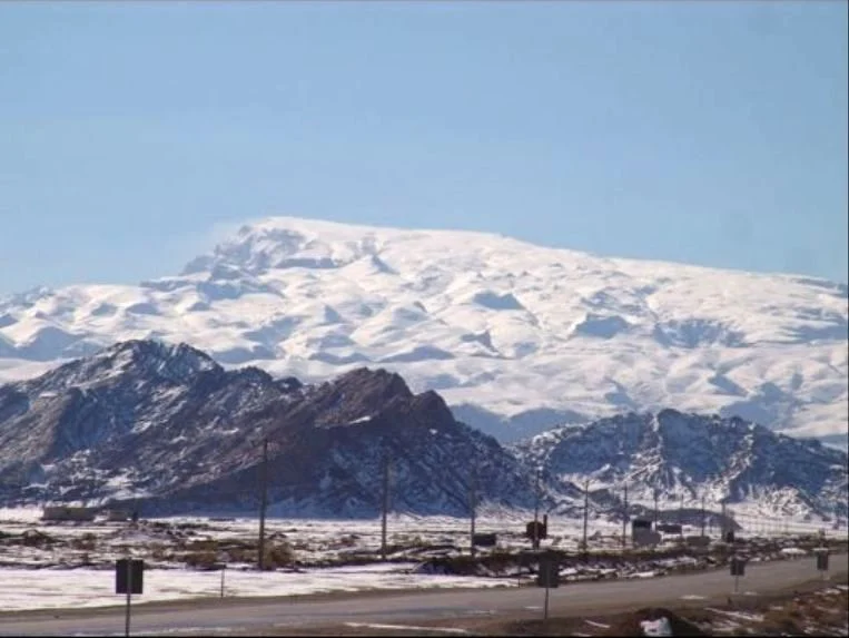
Granites of the Western Yazd Block
Recent research applied zircon dating to granites of the western Yazd block and assigned their formation to the Middle Jurassic. The study classified them as S-type granites, indicating derivation from the melting of crustal sedimentary material. Limestone screes are documented on the northern upper slopes of the mountain alongside this igneous bedrock.
Glacial Landforms of the Sakhvid Basin
Field researchers in the Sakhvid basin identified landform features interpreted as evidence of past glaciation and nivation on the mountain's flanks. These features indicate that Shir Kuh supported greater ice accumulation during cooler climatic periods. The altitudinal extent of former ice coverage remains a subject of ongoing geographic investigation.
Yazdana shirkuhensis and the Northern Limestone Scree
Botanists collected specimens from the northern limestone scree at 3,950–4,050 m in 2012 and again in 2019. A 2020 formal description established Yazdana shirkuhensis as both a new genus and species — an annual herb with dark purple stems and bicoloured petals, known at the time of publication only from this location on Shir Kuh.