
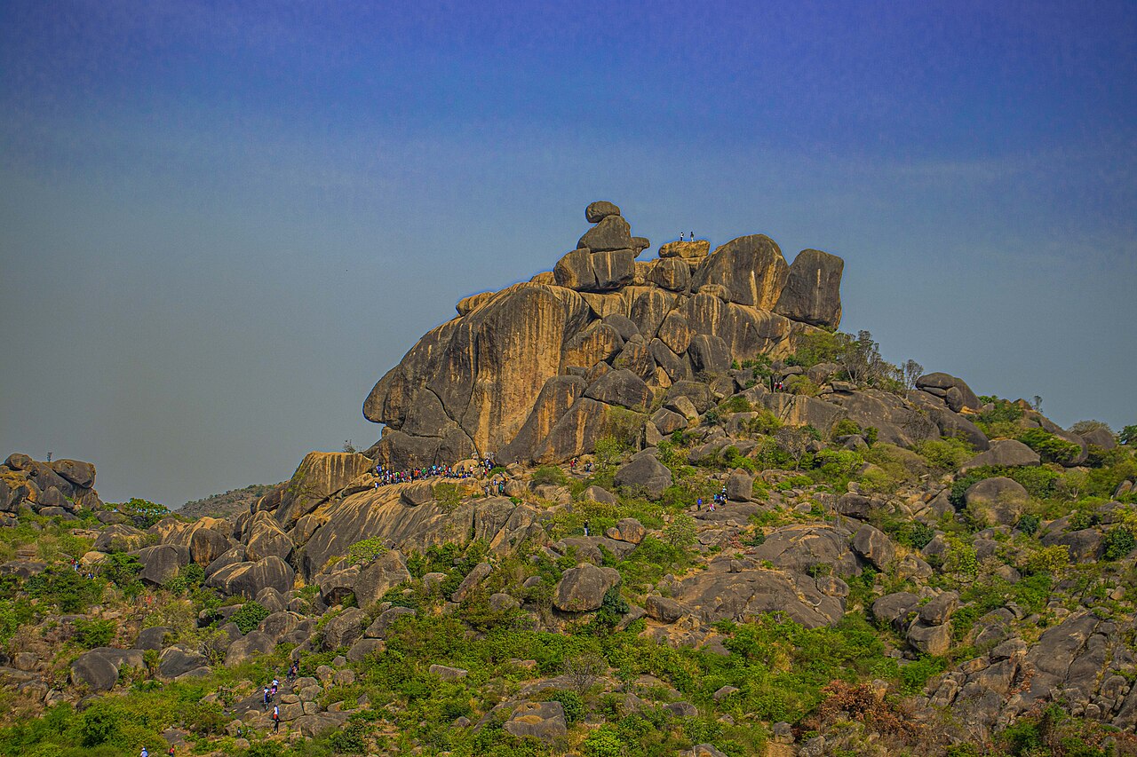
Summit Elevation and Upland Setting
At 1,829 metres, the Shere Hills form the highest ground on the Jos Plateau, as documented in the Plateau State environmental baseline and the Springer landforms survey. The surrounding upland lies at roughly 1,200 metres, so the hills represent a marked rise above the broader plateau surface, with exposed rock faces and grassy slopes defining the transition from the lower plateau to the summit zone.
Northeastern End of a 48-Kilometre Granite Ring Complex
The Shere Hills mark the northeastern terminus of the Jos–Bukuru Younger Granite Ring Complex. A Landsat lineament study published in the Journal of Geosciences and Geomatics mapped rock joints, ridges, and shadow patterns across the complex using satellite remote sensing, tracing the structure across roughly 48 kilometres to the Forum River at the southern end and clarifying how discrete granite bodies relate across the formation.
Grassland, Outcrop, and Remote-Sensing Geology
Granitic outcrops break through the plateau grassland at multiple elevations, giving the hills a distinctive stepped profile visible in both field surveys and satellite imagery. The Landsat study demonstrates how spectral and shadow analysis distinguishes geological lineaments within the ring complex, complementing ground-based mapping by revealing structural patterns across the full extent of the Shere Hills massif.