
The 1963 Swiss Approach and First Ascent
When Max Eiselin led the first Swiss Hindu Kush Expedition, the party reconnoitred the Langar valley and selected the lower Urgend valley given the icefall exposure there. They began a two-day approach from the village of Urgend, travelling with local porters, horses, donkeys, and yaks to a base camp at 4,550 m. On 26 August 1963, Simon Burckhardt, Alois Strickler, and Viktor Wyss reached the snowy summit north of Galati Kotal. The Swiss Alpine Club chronicle records this as the first ascent.
Terrain and Position on the 1973 Solothurner Map
The Solothurner Hindu Kush Expedition of 1973 visited the area and produced an annotated map based on the 1:100,000 High Hindu Kush sheet, placing Shah Dhar immediately north of Galati Kotal, with the pass marked at 5,400 m on that map, and west of the separately labelled Koh-i-Urgend. Members of the 1973 party, approaching from Langar village, could see Shah Dhar to the left of Langar's north face from near the tongue of the Sar Shakhawr glacier. From the vantage of Languta they recorded both Shah Dhar and Koh-i-Urgend as distinct peaks. The Japan Alpine Club's 1968 table lists the local name Sirt-e-Urgend-e-Bara for Koh-i-Urgend and assigns that separate peak a reported height of 7,038 m.
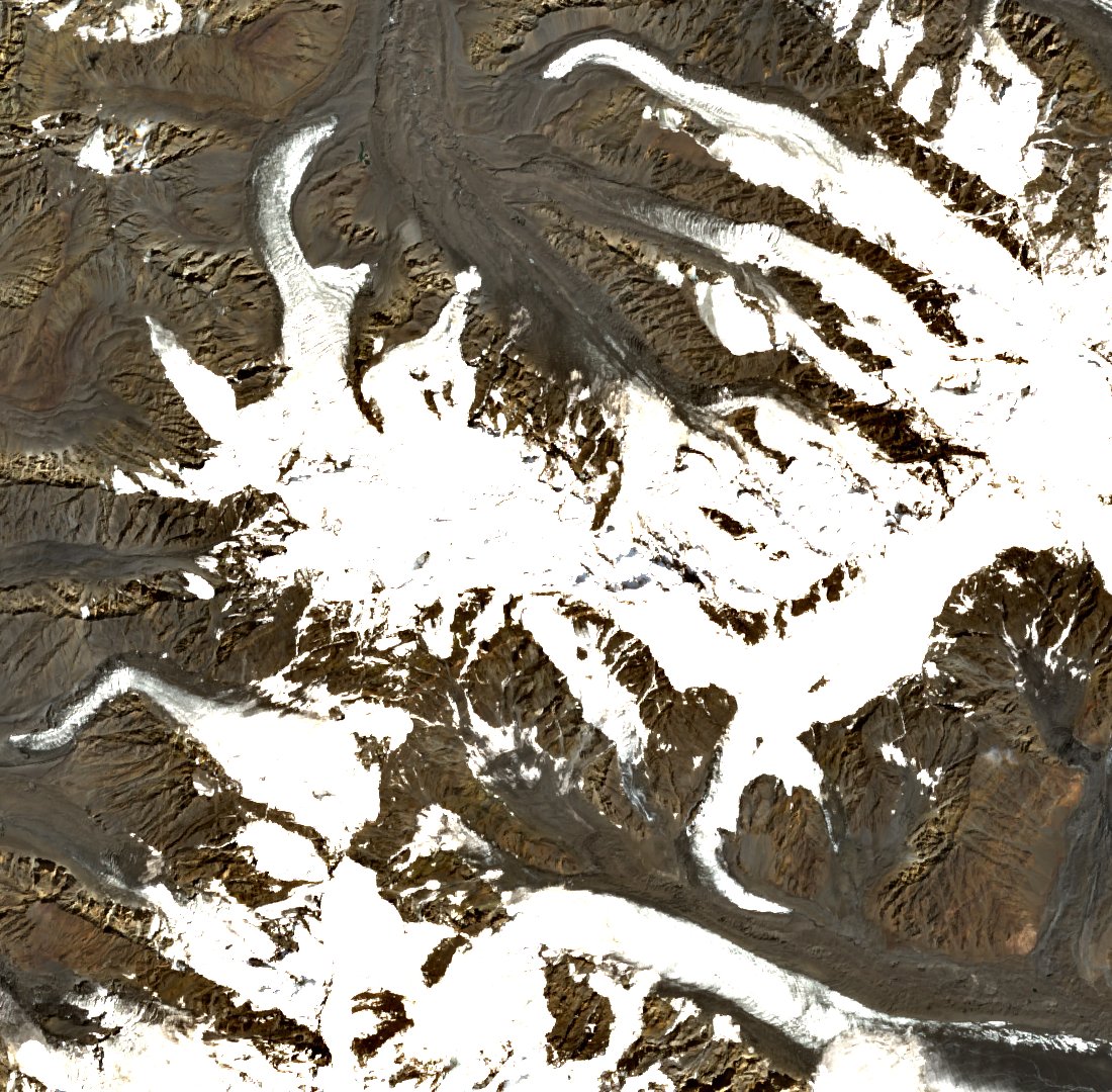
The August 2026 Sentinel-2C satellite image reproduced here is oriented with north at the top and shows the glacier-cut terrain around the Shah Dhar ridge and Galati Kotal. The scene takes in the valley-side glaciers and the broader ridgeline topography across this area of the High Hindu Kush.
Unresolved Entries in the Historical Record
In 1974, the American Alpine Journal published Jerzy Wala's account of the 1973 Silesian expedition, in which he designated point no. 243 as Shah Dhar at 21,490 feet. An editorial footnote records that Wala's map gives 6,122 metres for Shah Dhar. The annotated November 1973 Solothurn expedition map places the historical Shah Dhar at 6,550 metres directly north of Galati Kotal, leaving the precise identity of point no. 243 an open question.