
Proterozoic Chela Group Stratigraphy in the Escarpment Face
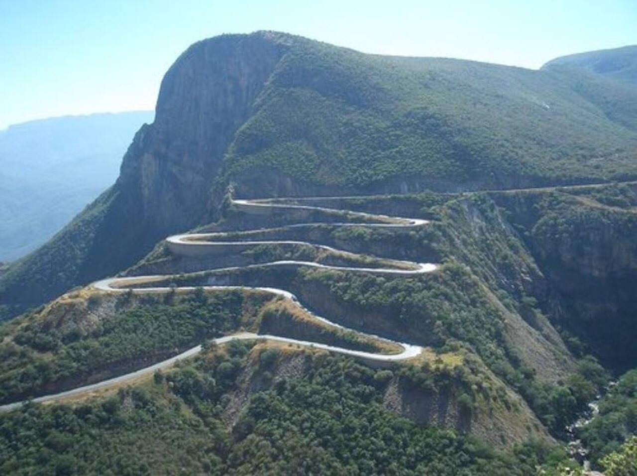
The escarpment exposes the Proterozoic Chela Group, a volcano-sedimentary sequence that lies unconformably above older granitoids. Roadside cuttings along the EN280 reveal Cangalongue claystones within this sequence, alongside sections of dolerite intrusion documented in field inventories reported to the International Conference on Geomorphology in 2022. These exposures allow direct observation of the stratigraphic relationship between the basement granitoids and the overlying Chela Group units.
EN280 Road Cuttings as Geological Windows
The Land journal field inventory of the EN280 Leba road catalogues the roadside geological exposures as geosites of scientific value. The engineered cuttings, made necessary by the escarpment gradient, reveal rock faces that would otherwise remain inaccessible. Researchers from that study recorded the spatial distribution of lithological units visible along specific road sections, providing a referenced transect through the Chela Group stratigraphy.
Slope Instability and the January–March 2011 Rain Events
A field investigation published in Geotecnia documented intense rainfall during January through March 2011 and its effects on slope stability along specific sections of the Leba road. The report recorded ravine formation and mass-movement features triggered by that wet season. The Angolan National Scientific Archives hold complementary relief data for the broader Serra da Chela escarpment that contextualise the geomorphological processes active on these slopes.