
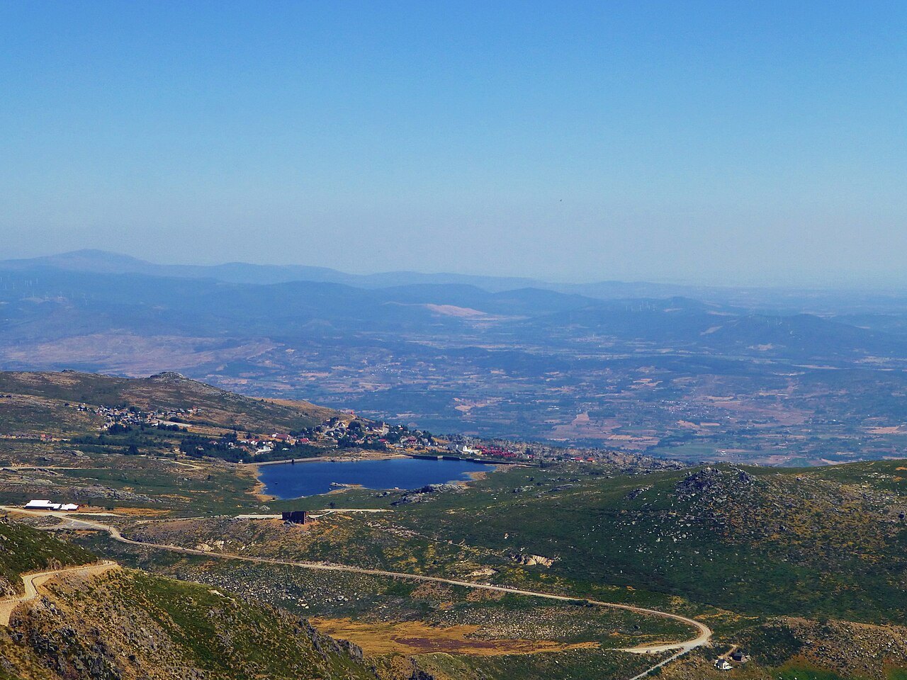
Torre at the top of the plateau
Serra da Estrela runs from southwest to northeast. Torre occupies the southwestern end of the upper plateau, where the Instituto da Conservação da Natureza e das Florestas records an elevation of 1,993 metres. Toward Guarda, altitudes drop gradually and the massif eventually merges with the neighbouring plateaus.
The granite that dominates the upper reaches is far older than the glacial features that shape it. The polished surfaces, lakes, and boulders left by the ice help distinguish the history of the rock from the history of the relief. The plateau also gathers water for important rivers of the Beiras. The Mondego, the Zêzere, and the Alva all have their sources in the range.
The valley that records the path of the ice
Between Covão da Ametade and Manteigas, the Zêzere flows through a U-shaped valley. During the last glaciation, a tongue of ice descended from the plateau and reached the area of the present-day village. The relatively wide floor and steep slopes allow you to trace the glacier's mark on the ground.
The Câmara Municipal de Manteigas maintains a network of walking trails and an interpretive centre dedicated to the valley. Walking in the Manteigas area and passing through Torre offer two perspectives on the same range. From the valley floor the depth of the cut is visible, while on the plateau you can see where the ice originated.
The summer routes of the flocks
Snow and cold limited the use of the higher pastures. In transhumance, flocks alternated between winter grazing in lowland areas and highland pastures in summer. On the plateau, cervunais — natural high-altitude meadows — provided food for the animals during the favourable season.
The wool from those flocks fed the production of burel, a dense cloth associated with the range. The milk is the origin of queijo Serra da Estrela, traditionally curdled with thistle. These products continue an economy in which altitude and the grazing calendar determined when and where production was possible.