
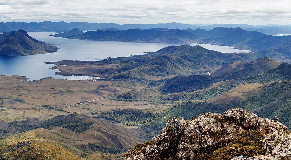
Ridge Structure and Rock Character
Folded quartzite resists erosion and holds up an east–west ridge. On its eastern end, the Tasmanian Geological Survey found ripple marks and inclined bands in white and pinkish quartz-rich rock. These patterns record the way sand accumulated before it hardened and was altered by heat and pressure.
Approaches Before the Road
A 1972 Tasmanian Field Naturalists Club account records a field route that descended south from the Gordon Road and crossed the Sentinel Range toward the former Lake Pedder. The author noted that reaching the Southwest before road construction demanded a long approach on foot, and that the exposed beach of the original lake sometimes served as a landing strip for small aircraft.
Wedge River and the Gordon Scheme
The Tasmanian Geological Survey records that the Wedge River rose in the Sentinel Range and drained into the Gordon River. Part of the Wedge River valley was later inundated by the southern arm of Lake Gordon. The original Lake Pedder, located in the basin to the south, was separately flooded in 1972 under the same Upper Gordon hydroelectric scheme.