
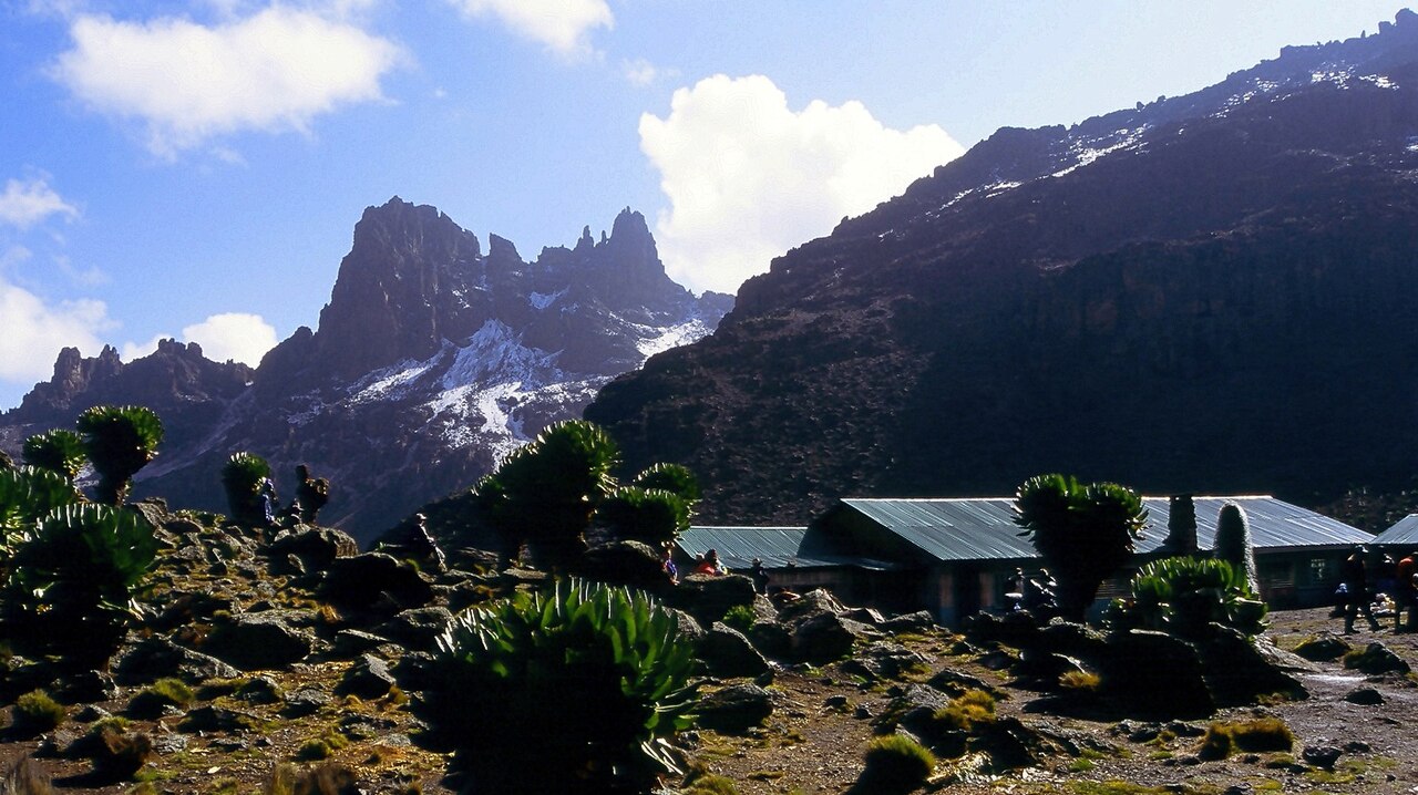
First Recorded Ascent by Shipton and Tilman, 1930
Eric Shipton made the first recorded ascent of Sendeyo on August 5, 1930, accompanied by Bill Tilman during their Mount Kenya expedition. Shipton published a firsthand account of the climb in the Alpine Journal in 1931, in which he identified and named the peak. His report remains the primary attributed record of the ascent.
Volcanic Rim Character and Rock Composition
Nicol's 1964 Alpine Journal account describes Sendeyo as part of Mount Kenya's old volcanic rim, noting the pinnacled ridge extending toward Tereri. Shipton observed volcanic rock along this rim section, while recording that the main summit area of Mount Kenya is composed of intrusive rock. The Kenya Geological Survey's mapping of the Mount Kenya area provides the broader geological framework for these distinctions.
Position Within the Mount Kenya Massif
Mount Kenya rises in central Kenya and carries several distinct summits along its upper ridgelines. Sendeyo occupies the eastern portion of the rim arc near Tereri, situated well within the massif's high-altitude zone. Nicol's survey figure of 15,433 feet, equating to approximately 4,704 m, remains the standard cited elevation for the peak.