
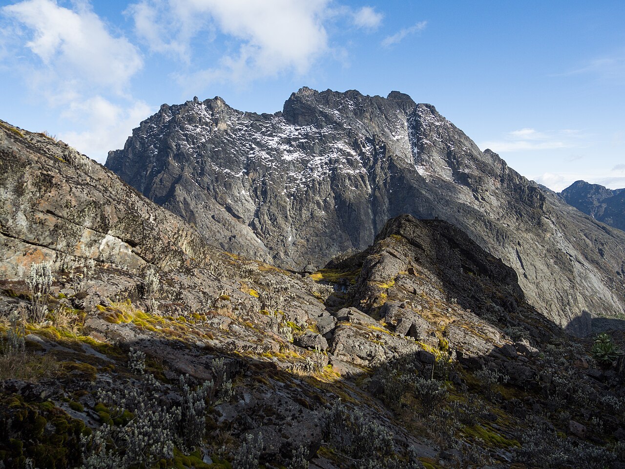
Position within Mount Baker
Mount Baker is one of the principal massifs of the Rwenzori range, a UNESCO World Heritage property managed by the Uganda Wildlife Authority. Semper Peak sits west of Edward Peak on the same massif, at 4,795 m. The Duke of the Abruzzi's expedition placed Semper among the summits climbed during their systematic traversal of the range in 1906.
Semper Glacier and the Scott-Elliott Pass approach
During the 1906 expedition, the party photographed a hanging glacier on the cliffs above the southern entrance to Scott-Elliott Pass and recorded it as Semper Glacier. The U.S. Geological Survey's African glaciers atlas later reconstructed the glacier's extent at that date as approximately 62,700 m². A photograph taken by Firmin in 1943 provided evidence of continued thinning, and research published in the Journal of Glaciology records the glacier's disappearance after that date.
Glaciological record and documentation
The photographic and cartographic record of Semper Glacier draws on several independent sources: the 1906 expedition images, photographs taken by Humphreys during the 1937–38 survey, the map produced from that survey, and the 1943 Firmin photograph. Together these form a sequence used by researchers to reconstruct areal change across the Rwenzori ice fields, with findings reported in comparative field studies published in the Journal of Glaciology.