
Soil beneath the lava
The 2025 regional geology of Ethiopia describes thick stacks of basalt flows in the Afar Rift. Its authors date the main phase of the Afar Stratoid Series to about 3.5 to 1.25 million years ago, drawing on earlier regional studies.
At an outcrop near Logiya, the survey photographed a red layer of buried soil below a basalt flow. The soil formed on an exposed surface during a break in volcanic activity. The next flow covered it, preserving a trace of the old ground beneath the rock.
A town on the valley floor
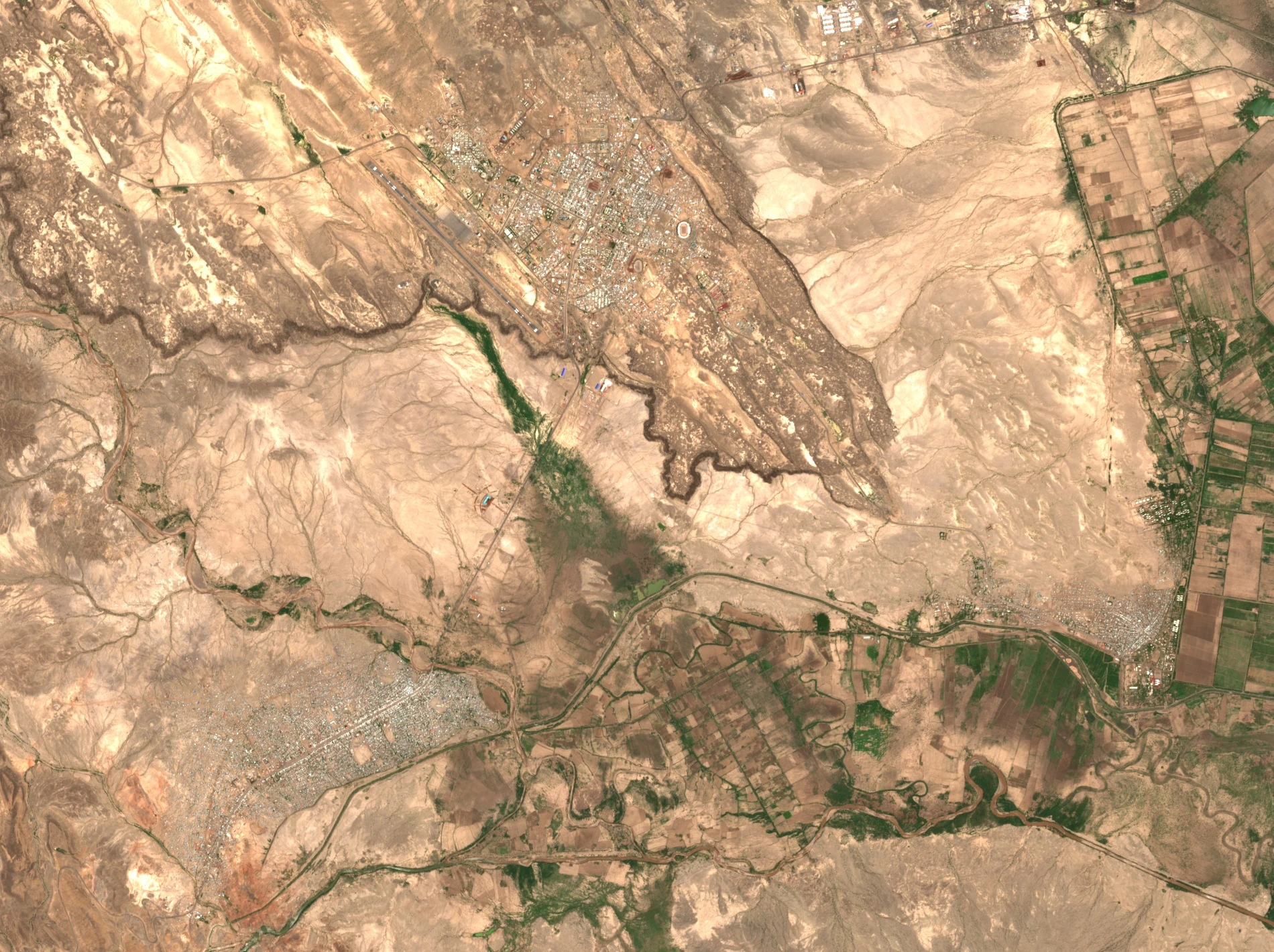
Semera’s master plan was completed in 2004 by Ethiopia’s National Urban Planning Institute. The plan placed the new urban centre astride the Addis Ababa–Djibouti highway. A 2023 Ethiopian Ministry of Water and Energy report dates the designation of Semera–Logiya as the Afar regional capital to 2007.
A place to record earthquakes
In October 2005, a team studying the Dabbahu–Hararo rift installed a portable seismometer in Semera as part of a regional network. Their 2008 study used observations from that network to investigate how magma moved underground and how faults responded along the rift.