
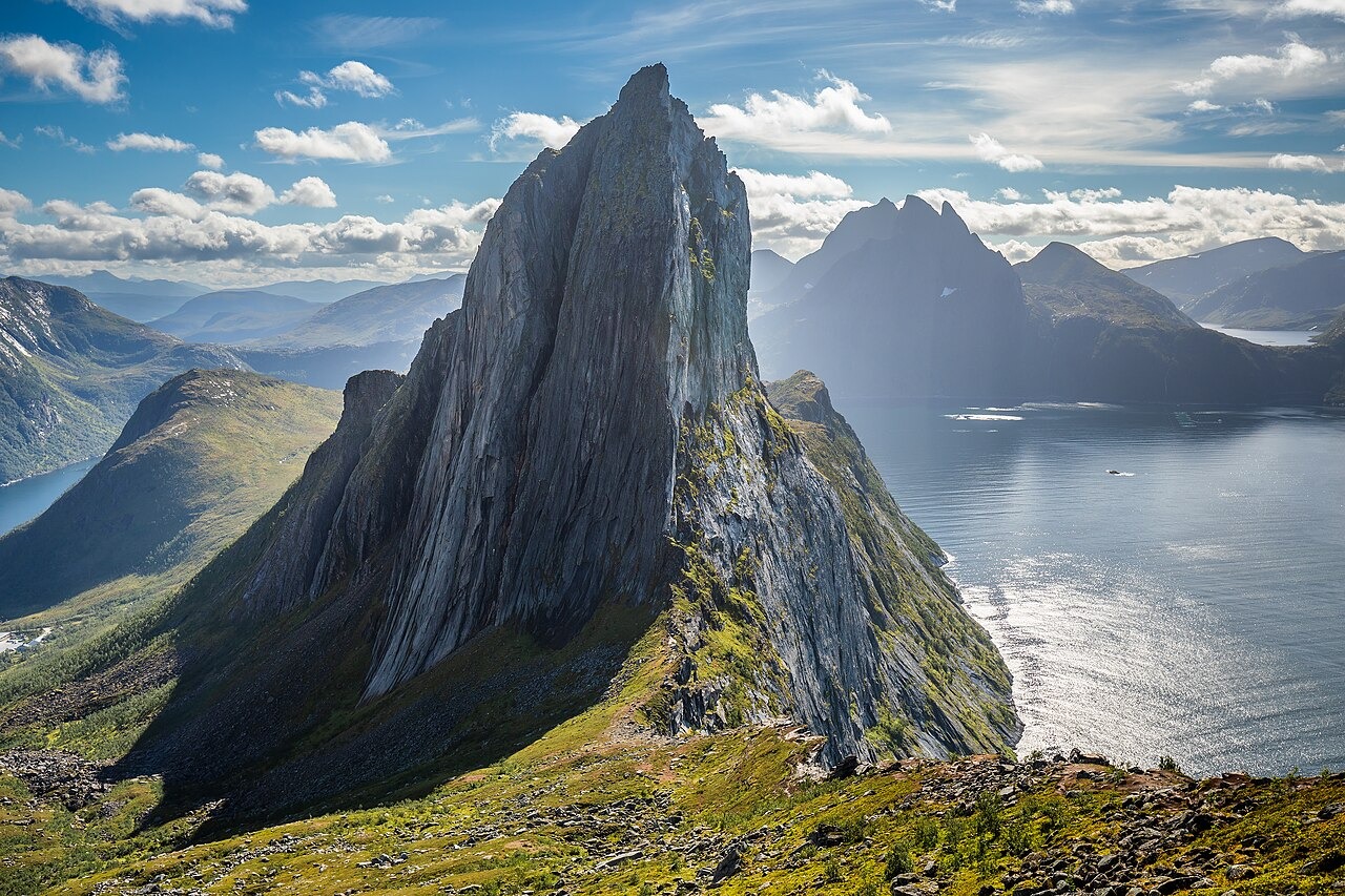
Profile and Setting
Segla's steep western walls are visible from inland and from vessels on Mefjorden. The view from Hesten, the lower summit to the north, is a recognised vantage point for the rock face, and a photograph taken from there appears on a cover of National Geographic Traveller UK, as noted in Senja municipality's visitor plan.
Terrain and Ground Conditions
Storevatnet, a lake that supplies drinking water to Fjordgård, sits near both the Segla and Barden trails in the mountain's approach terrain. A December 2022 vulnerability assessment by consultant Sállir Natur, commissioned by Senja municipality, documented walkers dispersing onto heath on the summit slopes where the route becomes less defined. The assessment identifies boggy ground in the area as potentially important habitat for wetland birds, and describes the steep western face as suitable habitat for birds of prey.
Municipal Planning
Senja municipality's visitor plan considers Storevatnet and the surrounding landscape together, given that increased activity in the area raises a contamination risk to the local drinking water catchment.