
A Pass That Preceded the Road
In the 1850s, pack trains carried supplies to mining settlements from Shasta through Scott Valley to Yreka. In 1858 Scott Valley farmers bought stock in the Shasta and Yreka Turnpike Company. The following year Siskiyou County committed part of the state poll tax it collected to a road from Callahan that would meet the turnpike.
Stagecoach service extended toward Oregon by 1860. The county records an unusual detail from 1861: ox-drawn snowploughs were prepared to clear the pass for passenger sleighs.
The Highway and the Trail
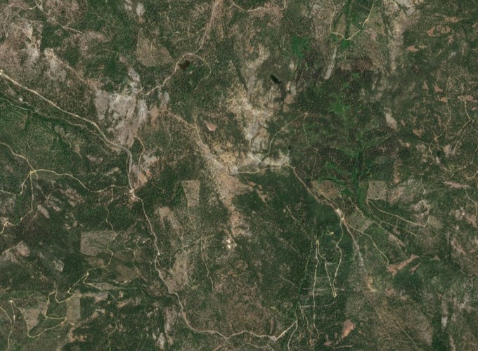
California State Route 3 and the Pacific Crest Trail now cross at the pass. The road drops toward the valleys on either side, while the trail curves around the south slopes of Scott Mountain toward Masterson Meadow Lake. In the satellite image from 10 June 2026, the pale line of the roadway winds across the forested terrain west of the peak.
The Pass’s Namesake Wildflower
The campground at the pass is the type locality for Scott Mountain phacelia (Phacelia dalesiana). That is where the specimen on which the species was named was collected. The International Plant Names Index records J. T. Howell’s first description in 1937.
The plant grows in openings in conifer forests. In the Klamath–Siskiyou Mountains, soils formed from serpentine rock are low in calcium and high in magnesium, conditions that favour plants adapted to this unusual chemistry.