
Position Between the Bujuku and Kitandara Basins
The col marks the watershed between two distinct high-altitude basins on the central Rwenzori circuit. To the north the ground descends toward Bujuku Lake and the moorland surrounding it. To the south the terrain opens toward the Kitandara lakes, a pair of high tarns set beneath the glaciated flanks of Mount Baker. The Uganda Wildlife Authority management plan identifies this section of the central mountain trail among the range's steepest connecting ridges.
Douglas Busk's 1954 Alpine Journal Account
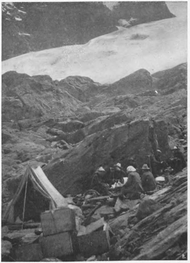
Douglas Busk published a detailed account of the central Rwenzori in the Alpine Journal in 1954, describing a party's passage from Bujuku Lake, a camp on the southern slopes, and onward travel past the Kitandara lakes toward Weismann Peak. The account provides one of the clearest early published descriptions of the col's immediate surroundings and the character of the ground on both approaches.
Conservation Setting Within the UNESCO World Heritage Park
Rwenzori Mountains National Park was inscribed on the UNESCO World Heritage List in 1994 in recognition of its outstanding natural values, including afroalpine vegetation zones and high glacial terrain. The Uganda Wildlife Authority administers the park under a management plan that covers the high passes, steep trail sections, and sensitive ecosystems of the central circuit. The pass sits within this protected landscape at the heart of the range.