
Summit and Border Geography
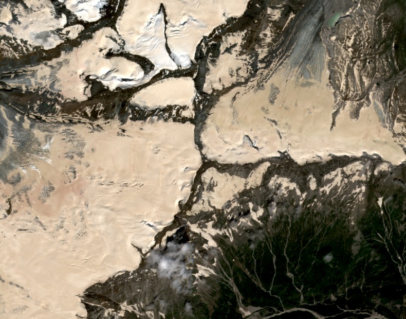
The Schwarzberghorn stands on the Switzerland–Italy border at 3,609 m, its northeastern flank occupied by the Schwarzberg Glacier, which drains toward the Mattmark reservoir in the Saastal. Rocky terrain on the southern side drops sharply toward Macugnaga in the Valle Anzasca, a characteristic the Swiss Alpine Club identifies as a defining feature of the mountain. The Italian name Corno Nero is also carried by the distinct higher summit known in German as Schwarzhorn, which stands at 4,322 m.
Schwarzberg Glacier and Its Accumulation Basin
Research at Nottingham Trent University examined the Schwarzberg Glacier and identified the 3,609 m Schwarzberghorn as the peak at the head of the glacier's accumulation basin, with drainage directed toward Mattmark. The study drew on historical records to document changes in the glacier over time and mapped glacial debris within the glacier's extent. The accumulation zone lies directly beneath the summit on the northeast side.
Bivacco Città di Luino
East of the summit, on the Rocce di Roffel crest, stands the Bivacco Città di Luino, a shelter registered with the Italian Alpine Club. A project documented in the club's December 2018 archive expanded the structure, with assembly work completed in October of that year. The expansion made use of modular pressed-wood construction and an aluminum exterior finish.