
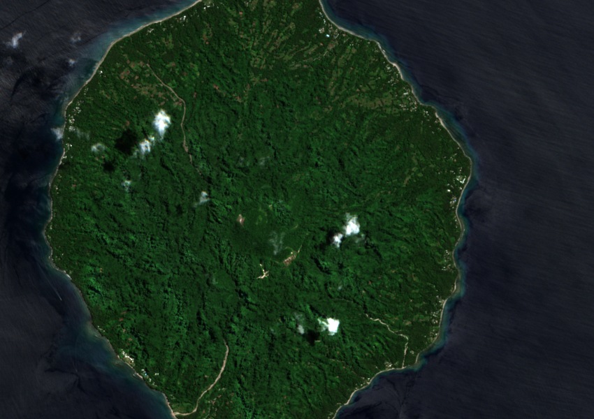
Form and Structure
The island is a single volcanic cone whose flanks slope to coastal fans built from material carried down from the summit area. The elliptical crater at the top and the presence of lava domes are structural features documented by volcanological survey of the island.
Thermal Features
Scientists have collected water and steam samples from multiple thermal sites across the island. Hot springs, fumaroles, and areas of steaming ground occur in several locations, providing physical evidence of continued subsurface heat recorded through direct field observation.
Historical Record
The earliest surviving written account of activity at Savo dates to 1568. The 1830s and 1840s constitute a separately documented period of eruptive activity, distinct in timing from that sixteenth-century report.