
Planning and Construction
The National Park Service's 2009 project proposal described how the trail would extend existing paths and connect visitor areas in the Savage zone. In 2012, community volunteers joined trail staff during a National Trails Day event to build a 150-foot boardwalk and complete a new trail section. The 2013 superintendent's report confirmed the trail's opening.
Landscape the Trail Crosses
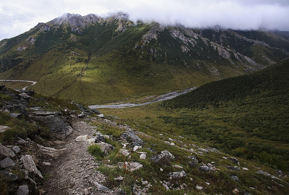
The route climbs from forested terrain into open tundra, tracing the transition from trees to low alpine vegetation that characterizes the Savage area's elevation range. Views from the western end look down into Savage River Canyon, as documented in National Park Service imagery from that section of the trail.
The River's Name
The Savage River, which the trail meets at one terminus, carries the Lower Tanana name Tr'at'egheth No', as recorded by the National Park Service at the Mountain Vista area. That name belongs to the river; the trail itself is a constructed feature identified by its English designation in park records.