
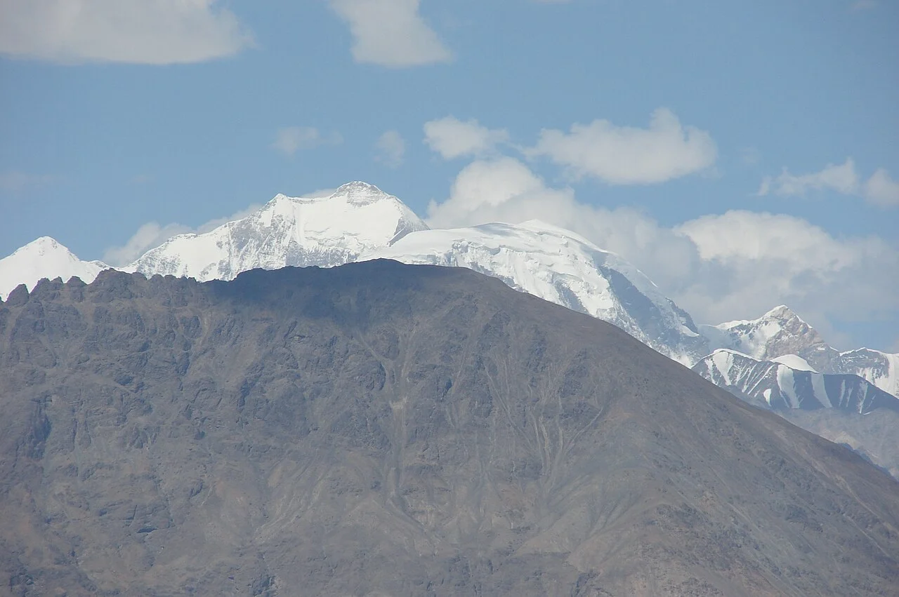
Reconnaissance and Early Approaches
Arthur Neve examined the area in 1899, and J. O. M. Roberts investigated the Phukpoche Glacier side in 1946, establishing approach knowledge without summit bids. Expeditions in 1956, 1969, and 1970 each attempted the peak; none reached the main summit before the 1973 Indo-Tibet Border Police expedition.
The 1973 First Ascent via North Shukpa Kunchang Glacier
Joginder Singh led the Indo-Tibet Border Police expedition from the Shyok side using the North Shukpa Kunchang Glacier. His firsthand Himalayan Journal account records that Danu's summit party reached the top on 5 June 1973, with a separate group standing on the summit on 6 June.
The Yellow Mountain Name
Joginder Singh renders Saser Kangri as Yellow Mountain in his expedition account, making him the attributable source for that translation. Whether the designation refers to rock colour, local oral tradition, or another origin is unrecorded in available sources. The four Saser Kangri summits are individually numbered and represent distinct climbing objectives.