
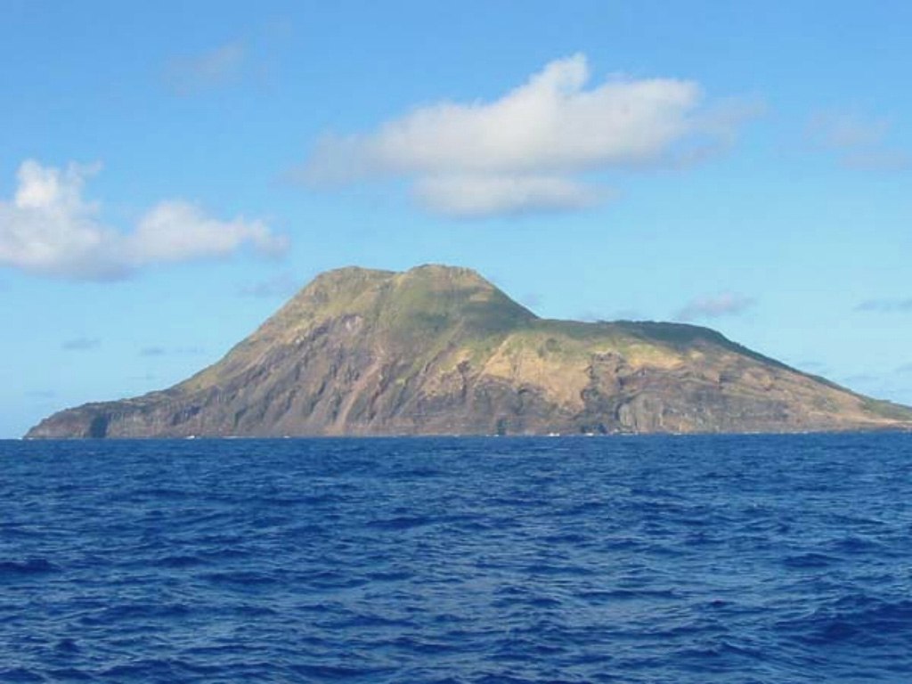
Crater Dimensions and the Inner Cone
Sarigan's summit opens into a crater roughly 750 metres wide, consistent with collapse or explosive excavation during the volcano's construction. A smaller secondary cone has since grown inside that outer depression, indicating renewed eruptive activity after the initial crater formed — a nested sequence that marks two distinct constructive phases.
Lava Domes and Flows to the Coast
Two lava domes near the southern crater rim fed flows that descended the flanks and reached the coastline. Their preserved surface morphology suggests they are geologically young, though no precise eruption date has been established. The flows remain readable in the island's topography as a record of the most recent period of surface activity.
Sarigan Island and South Sarigan Seamount
South Sarigan Seamount is a separate submarine volcano approximately 12 kilometres south of the island. The Smithsonian lists the two as distinct systems with separate identifiers. A notable 2010 event was associated with the seamount alone; the island's crater, inner cone, and coastal lava flows represent an independent and earlier volcanic history.