
Massif and Landscape
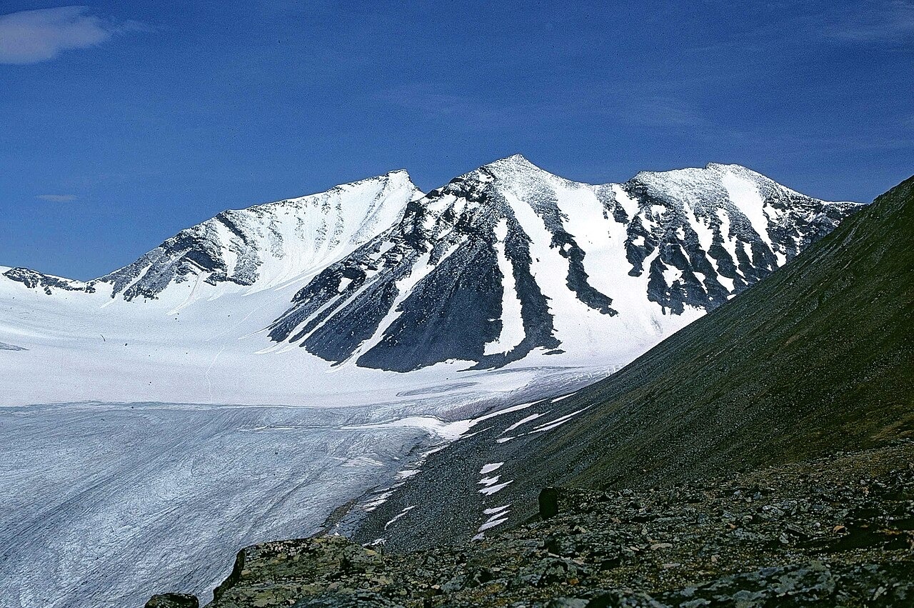
Laponia's park management describes the terrain of Sarek as high ridges and glaciers set above valleys cut into U-shaped forms during earlier glaciations. Sarektjåkkå stands at the centre of this landscape, its flanks feeding ice to surrounding glacier systems. The Laponia organisation recognises the same area as home to Sámi reindeer-herding and traditional land use, a cultural dimension that UNESCO cited when inscribing the Laponian Area on the World Heritage List. The heritage designation applies to both the natural landforms and the continuing Sámi presence.
Mikkaglaciären and Early Field Research
Mikkaglaciären lies on Sarektjåkkå and has been a site of systematic glaciological study since 1895, when researcher Axel Hamberg began recording ice motion, changes in mass, and shifts in the glacier front. Stockholm University's Bolin Centre explains that Hamberg's repeated measurements made it possible to track ice movement independently from changes in the position of the glacier terminus — a methodological distinction that underpins how long-term change is interpreted in the field record.
A Long Research Record
The Bolin Centre archives Mikkaglaciären field data as part of the Swedish glacier monitoring programme. The glacier's sustained research history, stretching from Hamberg's nineteenth-century surveys through present-day measurements, makes it one of the more continuously documented ice bodies in Scandinavia. That continuity allows researchers to separate interannual variability from longer directional trends in ice volume and front position.