
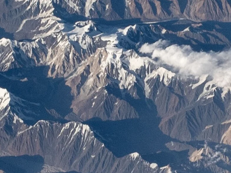
Summit Basin and the Problem of Names
The high basin yields four named points: the main summit and the Northwest, South, and Southeast subsidiaries. The designation Saraghrar North has been applied to different points across sources; Jurgalski's High Asia catalogue cautions against its unqualified use. Each subsidiary carries a distinct climbing history requiring separate identification in expedition literature.
First and Second Ascents of the Main Peak
An Italian team reached the main summit on 24 August 1959 via an eastern approach through the high basin, the first ascent recorded in Jurgalski's catalogue. In 1967, two climbers from Niigata University made a second ascent of the main peak via the Hushko Glacier; a separate Japanese expedition that same year climbed the South summit.
Southeast and Northwest First Ascents
A Swiss team made the first ascent of the Southeast summit in 2005. In 2021, Archil Badriashvili, Baqar Gelashvili, and Giorgi Tepnadze completed the first ascent of the Northwest summit via the northwest face—a Georgian team whose climb stands as an independent first ascent of that distinct subsidiary summit.