
Glacial Landforms
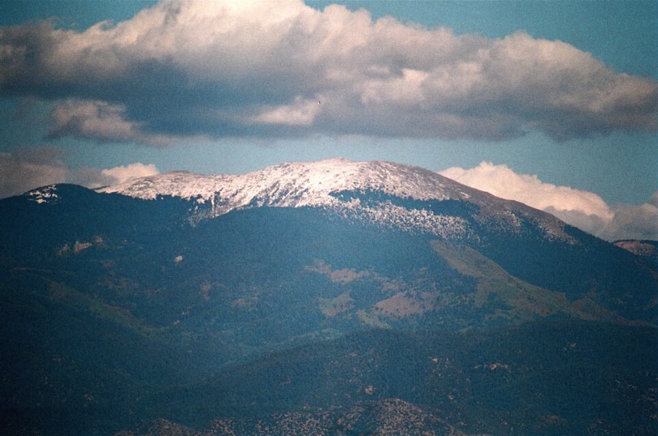
The flanks of Santa Fe Baldy preserve evidence of multiple glacial episodes in the form of cirques and moraines. A cirque is a bowl-shaped hollow cut into a mountainside by glacial erosion; a moraine is an accumulation of rock debris deposited at the margin of a former ice body. Geologists have identified several such moraines below the mountain's cirques, recording successive advances and retreats of ice across the high terrain.
Drainage Divide and Watershed
New Mexico's administrative records identify the summit crest at Santa Fe Baldy as part of the boundary between the Pecos River drainage and the Rio Grande drainage. The National Park Service notes that meltwater from past glaciation on summits in this zone contributed to the broader Pecos basin hydrology. The upper Pecos watershed, which begins on these high ridges, extends downstream through one of the region's principal river systems.
Pecos Wilderness
The terrain surrounding Santa Fe Baldy gained federal protection when the Pecos Wilderness was established in 1964. The designation encompasses the high crest and the glacially shaped upper valleys beneath it, linking the protected ridge directly to the headwaters of the Pecos basin. The summit's bare upper slopes, characteristic of the baldy summits in this range, sit above the treeline on the protected crest.