
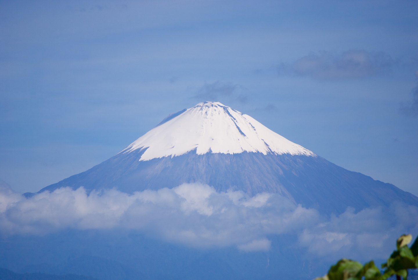
Geography and regional context
Sangay forms part of Sangay National Park, established in 1979 and inscribed as a UNESCO World Heritage Site in 1983. Its position at the southern end of the Ecuadorian volcanic arc places it in a transition zone between the Andes and the Amazon basin: the volcano's eastern flanks descend directly toward that system of plains and rivers, a geographical relationship that has shaped both the direction of historical volcanic deposits and the ecological distinctiveness of the protected area.
The coordinate published by the IG-EPN places it at approximately 2° south latitude and 78.3° west longitude, within the Morona Santiago sector. This eastward orientation has concrete geomorphological consequences: material expelled during eruptions and collapses has found its natural dispersal pathway down the Amazonian slope.
Collapses and formation of the present edifice
The volcanic hazard map published by the IG-EPN describes two earlier edifices known as Sangay I and Sangay II, both affected by collapses on their eastern flank. These events generated debris avalanches that spread toward the Amazonian plain and left as their morphological imprint the so-called horseshoe amphitheatres — semicircular depressions that still delimit sectors of the present-day relief. It is important to distinguish this collapse process — gravitational and structural in nature — from the explosive process that characterises eruptions proper: both have contributed to giving Sangay its shape, but they respond to different mechanisms.
The modern volcano grew upon the remnants of those collapsed edifices, its summit reaching 5,230 metres according to the IG-EPN. This succession of destruction and reconstruction is a common feature of stratovolcanoes along the Ecuadorian arc, though at Sangay the eastward-oriented avalanche deposits offer particularly legible evidence of at least two major lateral collapse episodes.
Documented eruptive history
IG-EPN sources record documented eruptive activity from at least 1628, a date that marks the start of the known historical record and does not necessarily imply uninterrupted continuity since then. Ash emissions and lava flows have been observed throughout that history. Monitoring of the volcano is carried out through overflights, field observations and remote sensors — instruments that together allow activity to be characterised without the need for continuous access to the upper parts of the edifice.
The combination of an extended eruptive history and a location within the national park makes Sangay a central object of study for understanding volcanic dynamics at the southern end of the Ecuadorian arc. The eastward emission of material — documented both in prehistoric collapses and in historical episodes — establishes the Amazon basin as the principal zone of potential influence of Sangay's volcanic processes.