
Ridge, Border, and Summit
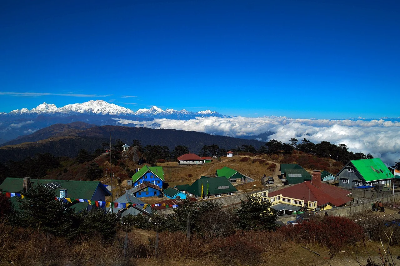
The Singalila Ridge runs roughly north to south, dividing the drainages of West Bengal from those of Nepal. Sandakphu holds the high point of this ridge at 3,636 metres, the international border passing through the summit. A small cluster of lodgings serves travellers here, and Phalut stands as a distinct summit farther along the ridge.
The Sleeping Buddha Panorama
On clear days, the view northeast encompasses Kangchenjunga and its adjoining summits, whose profile seen from the Singalila Ridge is popularly described as the Sleeping Buddha. Looking westward, the summits of Everest, Lhotse, and Makalu appear on the horizon, distant sightlines made possible by Sandakphu's elevated position on the ridge.
Forest and Ridge Communities
The slopes below the summit carry rhododendron forests and stands of silver fir, vegetation types shaped by the ridge's elevation and monsoon moisture from the Bay of Bengal. Within the Darjeeling District, settlements including Tonglu and Gairibas line the ridge route, each sustaining small lodgings for those moving through this high landscape.