
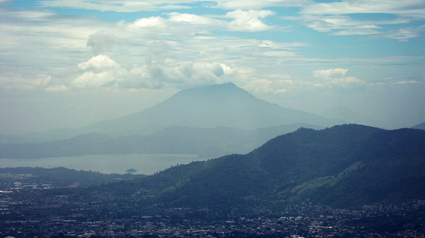
Structure and geological context
The San Vicente edifice is andesitic in composition and was built within the La Carbonera caldera, preserving part of the latter's rim to the southwest. Its two main peaks define a silhouette that sets it apart from the single-summit cones common along the Central American volcanic arc. Deposits from the great Tierra Blanca eruption, originating in the neighboring Ilopango caldera, overlie some of San Vicente's lavas. No confirmed historical eruptions are known at San Vicente.
The November 2009 flank flows
In November 2009, intense rainfall mobilized debris deposits on the flanks of San Vicente, triggering landslides around the 1,800 m contour. During that same episode the flows followed distinct channels: the Quebradona directed material toward Verapaz, while El Derrumbo channeled another flow toward Guadalupe. The El Salvador Civil Protection report attributes this episode to rainfall, not to any eruptive process.
The fieldwork documented by Civil Protection included maps, photographs, and an estimate of the run-out distance of the flow that reached Verapaz, put at approximately 6 km. The Quebradona and El Derrumbo channels drain toward different communities and follow their own paths, and should not be treated as variants of a single channel.
The La Carbonera caldera and the inherited landscape
The southwestern rim of the La Carbonera caldera is preserved as a recognizable feature in the topography and frames the younger San Vicente edifice. The flanks of the volcano also bear ash deposits from the Tierra Blanca eruption of the Ilopango caldera, which overlie some of its lavas.
The twin summit of San Vicente and its emplacement within a pre-existing caldera structure point to a multi-phase constructive history. The shape of the present edifice — with its two peaks and the partially preserved rim of La Carbonera — is the cumulative result of those successive processes.