
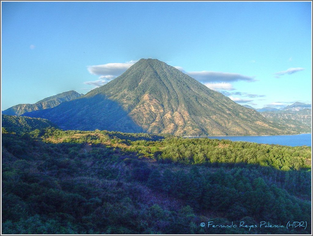
Position within the Atitlán basin
The Bay of Santiago, a lake inlet that the Smithsonian Institution estimates at around 8 km, separates San Pedro's eastern flank from Volcán Tolimán, the neighboring cone to the southeast. This arrangement defines the aquatic boundaries of the edifice and illustrates how the three major post-caldera cones — San Pedro, Tolimán, and Atitlán — were distributed around the lake depression.
The volcano's crater is shallow, open to the northwest, and partially filled with lava. The date of its last volcanic activity is unknown, a detail the Smithsonian records without specifying any particular historical episode.
Cloud forests and threatened fauna
The Volcán San Pedro Municipal Regional Park, administered by the municipality of San Pedro La Laguna under Guatemala's SIGAP system and overseen by CONAP, protects the montane and cloud forest formations covering the middle and upper elevations of the volcano.
CONAP identifies the horned guan (Oreophasis derbianus) as one of the characteristic species of the park's higher zones. It is a regionally endemic bird classified as threatened.
Relative age and geological context
San Pedro is the oldest of the three major cones that formed above the basin following the collapse that gave rise to the Atitlán III caldera. Tolimán and Atitlán rose subsequently around the same lake depression, shaping the volcanic ensemble that frames the lake today.