
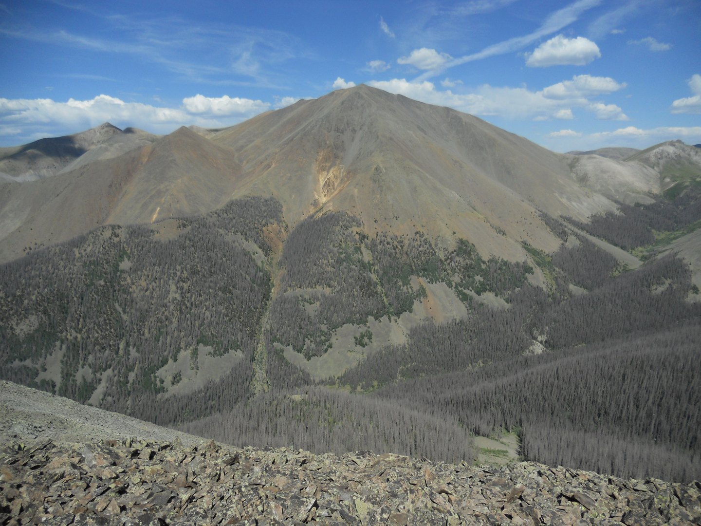
A Mountain Shaped by Ancient Fire
The rock on San Luis Peak is Nelson Mountain Tuff, consolidated volcanic ash and fragmented material from an eruption that USGS dating places at approximately 26.9 million years ago. The peak lies within the San Luis caldera complex, a separate volcanic feature from the nearby La Garita caldera and its Fish Canyon Tuff. Erosion worked through the deep tuff layers after they formed, carving the ridgelines and high points visible today.
Position on the Continental Divide
San Luis Peak stands in one of the less-trafficked stretches of the Continental Divide corridor through Colorado. The Forest Service landscape assessment treats the peak as part of a high-elevation terrain band where the divide runs through open, above-treeline terrain. Stewart Peak shares this elevated sector, defining the character of the wilderness area here.
Distinct Features of the Same Name
The name San Luis applies to several features across southern Colorado. San Luis Peak, the San Luis Valley, and the San Luis caldera complex are distinct landforms at different scales. The caldera complex is a buried volcanic structure, the valley is a tectonic basin, and the peak is a surface summit eroded from tuff deposited during a discrete ancient eruption.