
A Summit Above the Treeline
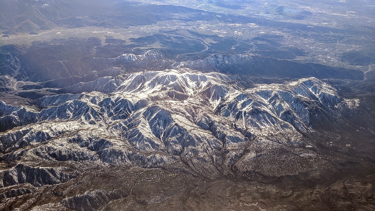
San Gorgonio's summit rises well above the local treeline, leaving bare rock exposed above the forested slopes beneath it. Sand to Snow National Monument, which centers on the peak, takes its name from the vertical span of habitat the landscape encompasses. That corridor connects the San Bernardino and San Jacinto ranges across a compressed elevational gradient.
Evidence of Ancient Ice
A 1959 study by Meier identified moraines on the mountain's north side left by the former Dry Lake glacier. These debris ridges record the glacier's past extent and flow direction — physical evidence of a colder climatic episode preserved in the landform morphology of the north slope.
Names on the Map
The original 1899 USGS topographic map labeled the peak San Gorgonio; Bureau of Land Management records note the local nickname Old Grayback on that same map, reflecting the pale rocky appearance of its upper elevations. The wilderness and monument designations that now govern the mountain came decades after both names were established.