
Washington's 1852 Marker
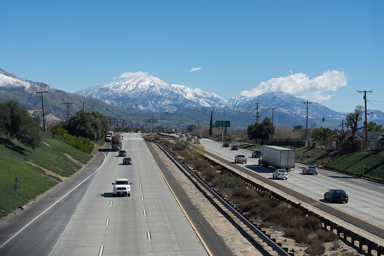
In 1852, Henry Washington led a survey crew to a ridge west of the summit, where they placed a stone marker fitted with a tall pole and reflective plates. The ridge location offered visibility from the lowlands below, making it a practical anchor for establishing a baseline and a meridian. A baseline is a measured east-west line and a meridian a measured north-south line. Together they form the reference grid from which surveyors divide land into the townships and sections used in legal property descriptions. The marker and its ridge position, west of the actual summit, are preserved in the San Bernardino survey record.
Subsequent Initial Points
The Center for Land Use Interpretation records that additional initial points were set east of Washington's 1852 marker, one in 1892 and another in 1907. These later markers are each distinct from the 1852 ridge site and from one another, positioned east of Washington's original placement.
The San Gorgonio Wilderness Setting
The peak lies within the San Gorgonio Wilderness on a high crest. It is a discrete summit, separate from San Bernardino East Peak and from San Gorgonio Mountain, features the topographic record identifies individually within the same ridge system.